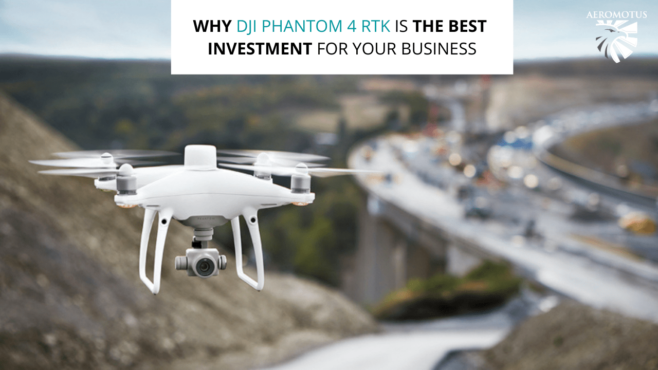
Why DJI Phantom 4 RTK Is the Best Investment for Your Business
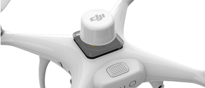
The DJI Phantom 4 RTK needs no introduction because this drone is an ideal combination of reliability, level of accuracy, and price point. This drone features an on-board real-time kinematic sensor that can easily geotag absolutely every image. This allows experts to reach centimeter-level accuracy while building their maps.
The greatest benefit of Phantom 4 RTK is its price – it is cheaper as compared to its alternative options. Therefore, more users can afford to buy it.
The first version of DJI Phantom hit the market eight years ago. It was a durable drone that was a breakthrough on the market. Since that moment, the Phantom drone series has become a must-have tool for the construction industry. The Phantom 4 RTK is the latest drone in this series and the first survey-focused one. But what is special about this flying machine? An unsuspecting cylinder that is located at the top of the drone and can tag images with positional data. In this post, we’ll take a closer look at the key features of this flying machine and an advantages for your business.
What Are the Benefits of the RTK Module?
With the development of this drone, the company-manufacturer also managed to build a powerful aircraft that brings surveying missions to a new level. This drone guarantees accuracy to 1/10ft (3cm). To achieve that goal, the drone uses TimeSync Technology that can coordinate the camera and RTK receiver. As a result, the precise geospatial information will be tagged to each image. On top of that, TimeSync also puts the positional data to the camera’s optical center. Thanks to this functionality, you can rest assured that data accuracy is always maintained.
What Are the Other Benefits of Phantom 4 RTK?
This flying machine is one of the most powerful solutions that are available on the market today. Let’s review other benefits of this drone that each user must know:
- The best image quality.
This drone features a one-inch, 20-megapixel CMOS sensor and a mechanical shutter that allows you to capture moving objects.
- A powerful controller.
It comes with a microSD card slot, top-notch speaker, and batteries.
- A few flight modes.
The drone comes with a few intelligent flight modes that allow you to direct the flight by tapping on the screen of a controller. If necessary, you can also upload a determined flightpath in advance. If you need to follow certain objects, the ActiveTrack mode is at your command.
Speed and Accuracy
A few years ago, data collection took a few days. If you needed to collect data quickly, you were made to compromise accuracy. The Phantom 4 RTK became a game-changer. This simple flying machine managed to reduce survey time to a few hours, without compromising quality. Now, to get real-time data about the site, you only need to fly a drone and that’s all!
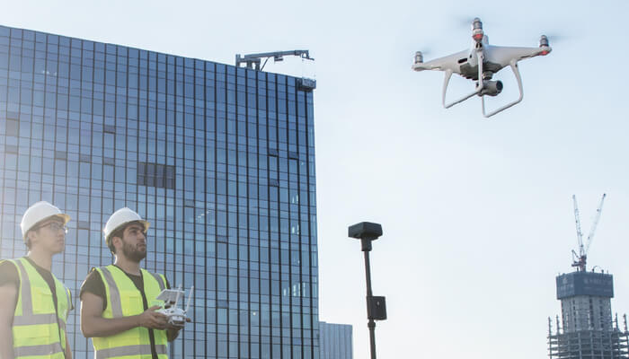
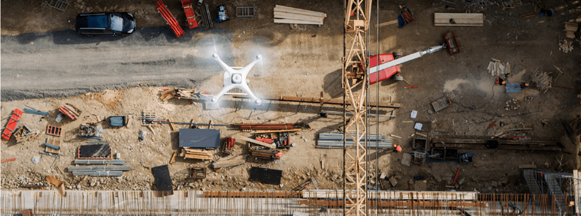
DJI Phantom RTK for Construction
The use of drones for construction mapping has a lot of advantages. Drones are a cost-effective method for measuring and tracking construction projects. The use of drones provides real-time and accurate aerial visual data to increase efficiency and cut costs. Here are some of the benefits of using drones for construction:
- COST SAVINGS
- EFFICIENCY GAINS
- QUALITY DATA
- REDUCED RISK
Having access to overhead views of a site helps teams track site progress over time; ideal for checking timescales and making sure the project hits deadline. The DJI Phantom 4 RTK is a compact and complete low-altitude mapping solution, but images captured with the Phantom 4 RTK carry highly accurate location data
You know that powerful ground control means a lot for any surveying mission because it allows users to get more accurate data. When Phantom 4 RTK is integrated into your workflow, you’ll surely spend less time flying around too dangerous worksites.
The Phantom 4 RTK allows pilots to do their job more efficiently and with much better accuracy. As a result, you’ll have more time to focus on leveraging collected data.
Overall, we can see that DJI managed to build a powerful drone that allows experts to do their job faster and more efficiently. To put it simply, the company manufacturer managed to bring accessibility and consistency to too complicated workflows. If you have any questions about Phantom 4 RTK, don’t hesitate to contact the Aeromotus support team. We’ll be glad to help you make the right choice!