UAV’s in Construction: How Drones Are Helping Construction Companies Save Money, Save Time, Improve Safety Conditions and More.
In the last few years, drones have helped make several improvements in construction, from increased accuracy in reporting, to improving safety conditions, to cutting costs and increasing efficiency.
With drones making it easier and easier for companies to provide visual data on the progress of a construction project, clients can now get quick updates on how things are proceeding. These updates include detailed maps of the entire site with GPS points, which allow you to zoom in and view small details of the area.
Detailed visual reports can then be shared with stakeholders, helping everyone involved in a construction project to see what has already been done and what work is remaining.
Below we’ll cover what drones are doing to improve construction operations, and also give you some concrete information on what the construction drone market looks like and how you might be able to break into it as a drone pilot.
DRONES IN CONSTRUCTION: HOW ARE DRONES USED ON A CONSTRUCTION SITE?
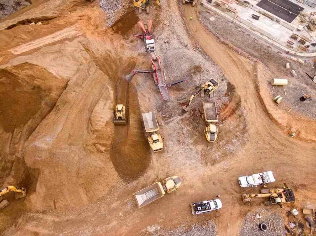
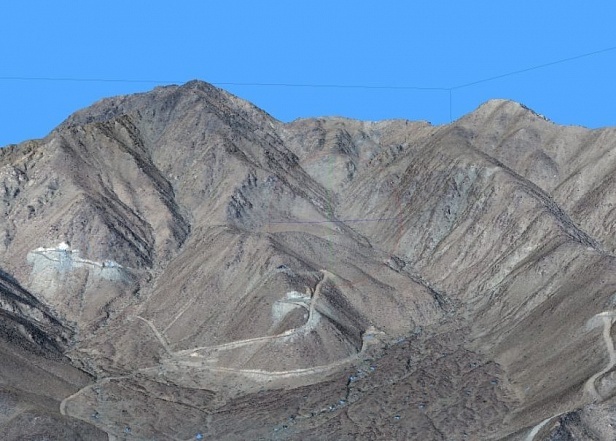
The big benefit to using a drone in construction is getting quick, accurate visual data of a site. This data can then be used in a number of ways. It can be shared with clients, with internal teams, used to help improve safety, and to focus efforts toward completing a project faster.
With a 15-minute flight, a drone pilot can gather the same visual data that it might take a surveyor working for a construction company half a day to collect by walking on foot.
Construction drone can fly overhead and create a record of everything happening within a dangerous area, providing crucial information that will help determine how to proceed.
Here are some of the ways you’ll find people using drones in construction right now:
- Pre-planning
- Reporting to customers
- Identifying safety concerns
- Tracking progress and identifying potential problems / delays
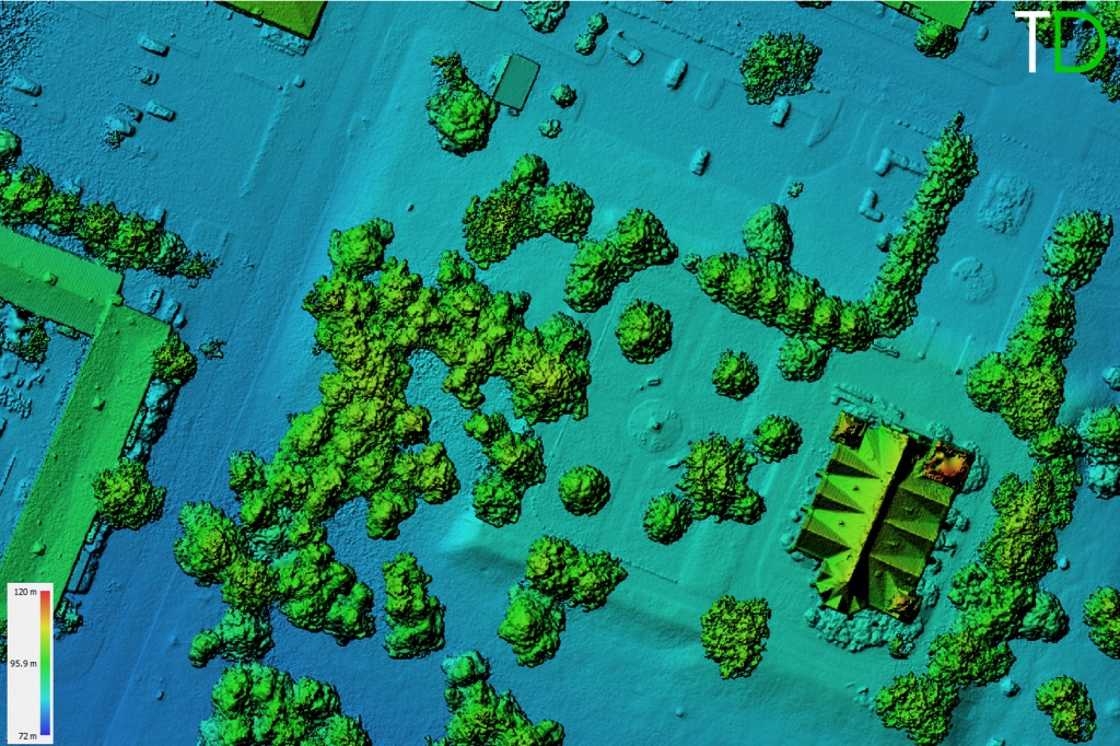
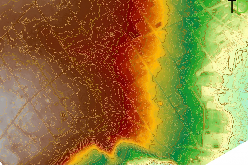
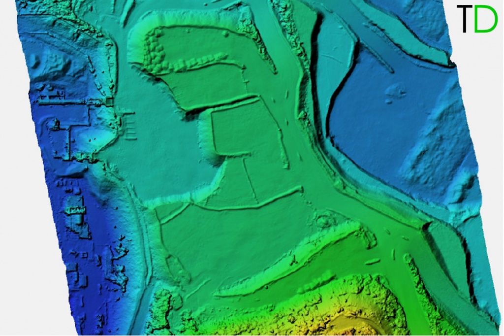
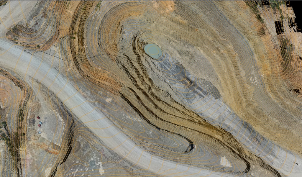
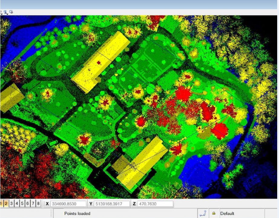
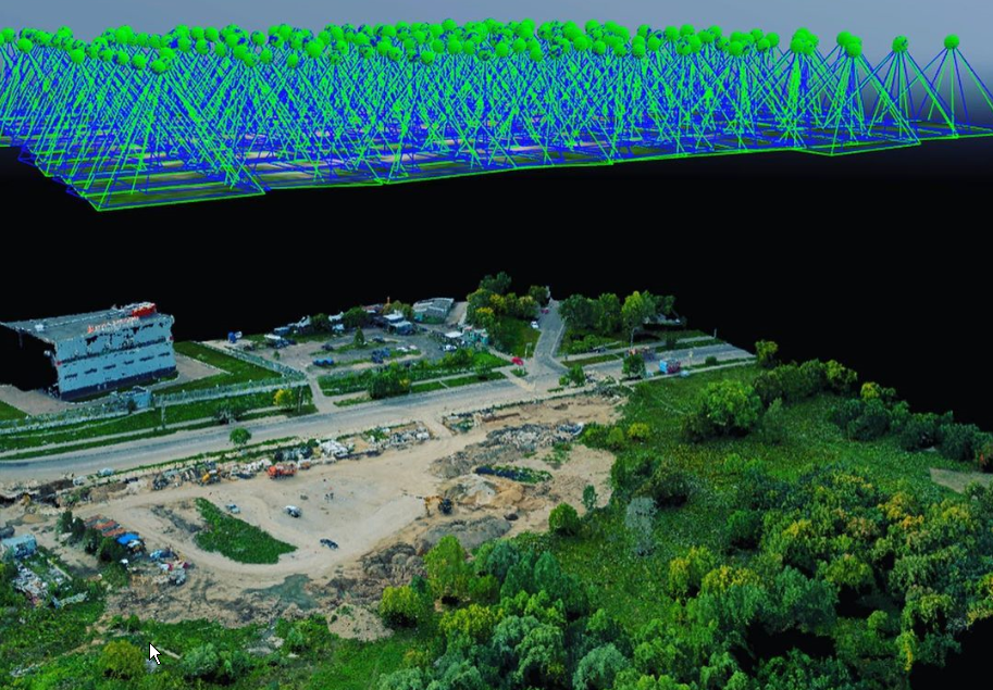
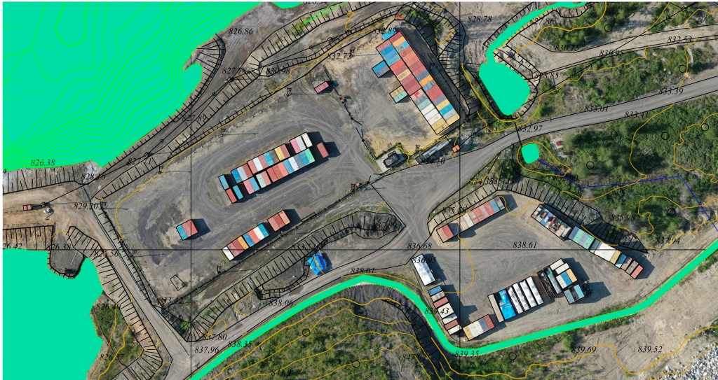
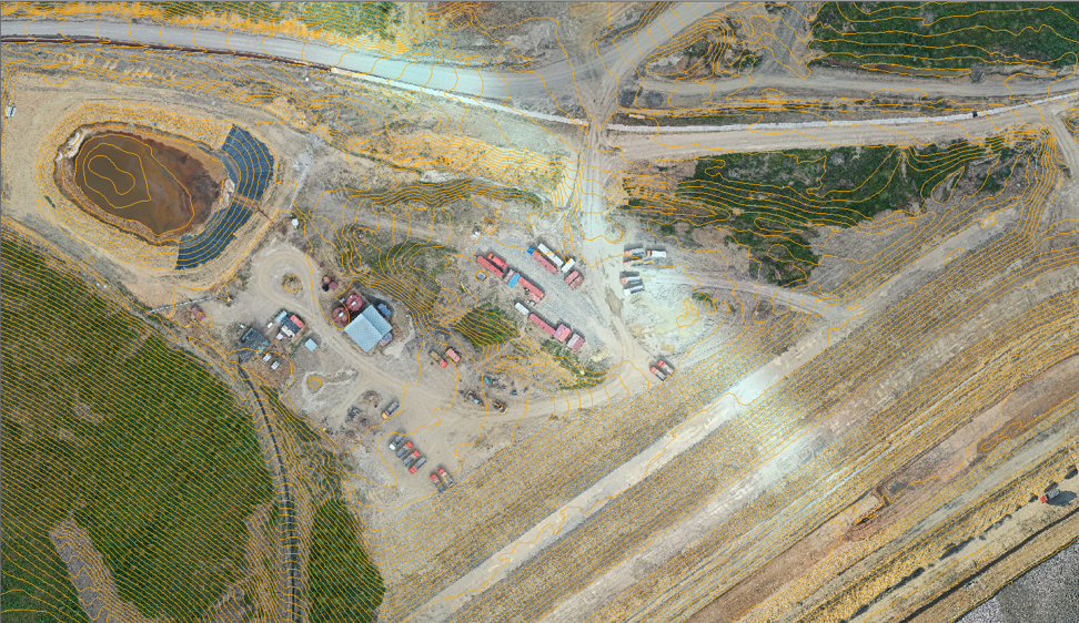
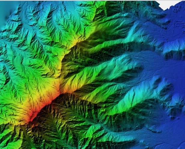
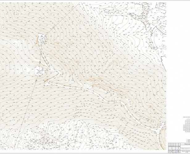
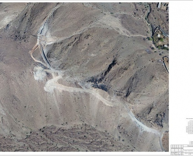
- Creating 3D and orthomosaic maps, which can be used for all of the above purposes, as well as to measure stockpiles of various materials on the construction site
Photos, videos, 3D models, and orthomosaic maps created with drone data can be used to provide clients with detailed, real-time reports on how things are progressing on-site.

What you can do with RTK Drone Data:
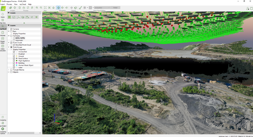
- With drones, you can survey your site more often than ever before. With weekly or even daily drone flights, you can create up-to-date models of your projects. All you have to do is fly your site, process your model, and export your data into professional software.
-
Fly your site daily, weekly, or after each phase is completed to capture centimeter-accurate maps and models automatically uploaded to the cloud. See how your jobsite changes over time by comparing two maps side-by-side.
- Calculate the volumes of individual stockpiles in any scan and compare to previous flights to track inventory changes over time.
-
Managers and decision makers enjoy unprecedented project visibility with accurate 2D maps, 3D models, and high-resolution aerial photos and videos using drones.
Team members can view near real-time digital models of your projects securely through a web browser from anywhere in the world.
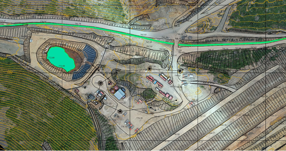
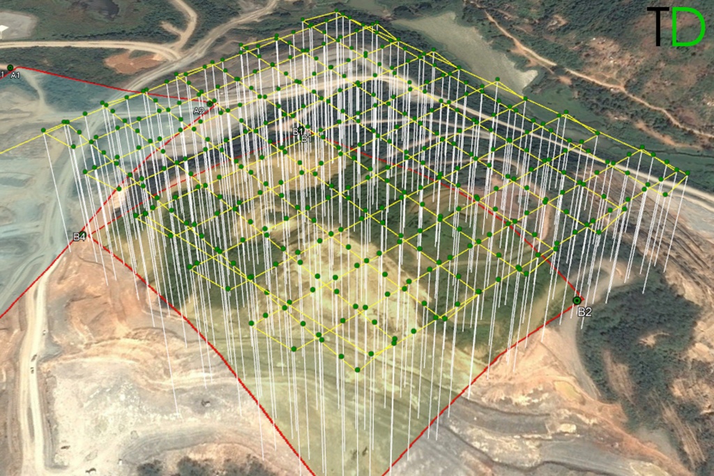
Example of the project that was implemented by our partners

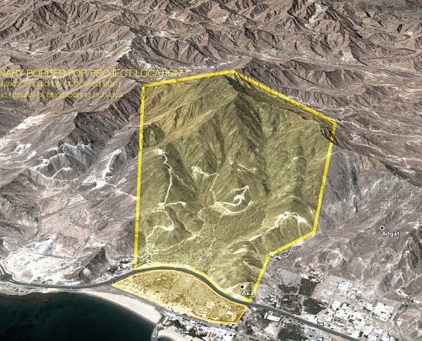
- Completed engineering surveying
- The laying of long-term points of the planning and altitude justification
- GNSS measurements performed
- A geodetic aerial survey was carried out
- 1: 500 scale mapping made
How Construction Company can start use the drone technology?
- The specialists of the construction company should visit a training course for use of unmanned aerial vehicles with RTK / PPK GNSS system and data processing in professional software;
- Purchase special equipment and software.
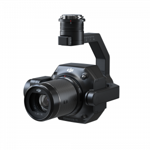
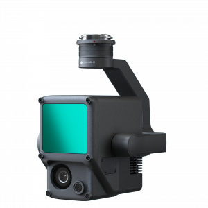
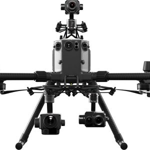
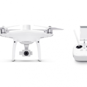
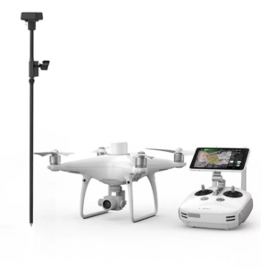
Professional UAVs and Software
Software developers have created solutions which analyze construction progress with regularly captured data. While ground surveying is still a critical part of construction planning and monitoring, the use of drone data has become increasingly important.