Our Events

14 December 2022, 1.00 pm (GMT+4)

Run a profitable Drone Light Shows Business with Drone Show Software by SPH Engineering

Webinar recordings

Webinar| The New DJI Mavic 3 Enterprise Series sets Ultimate Standard for Portable Commercial Drones

A webinar by Aeromotus showcasing and discussing the newly launched DJI Mavic 3 Enterprise Series (Your Everyday Commercial Drone) which has variant models, i.e., DJI Mavic 3E and DJI Mavic 3T. Webinar covered:

  • Product Introduction,
  • Product Comparison,
  • Sample Data Outputs

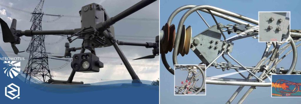
Webinar | UV/IR Cameras on Inspections of Transmission Lines and Substations with DJI M300 RTK Drone

Aeromotus and their partner ZQ Photoelectric talking about of UV Cameras, IR payloads and such sensors that could be used in inspection scenarios, such as transmission towers, substations inspections, solar and wind assets, bridges and infrastructure assets, wildfires and much more.

Multi Gas Detection and Mapping using DJI Matrice M300RTK Drone/M30 Drone with Sniffer4D Soarability

Multi Gas Detection and Mapping using DJI Matrice M300RTK Drone/ M30 Drone with Sniffer4D (A Full Solution for Gas Detection, Mapping and Analysis)

Sniffer4D is a gas detection sensor for drones which can detect up to 9-gasses at one time and comes with powerful software for mapping the distribution of gas detected in the survey area.

Webinar Recording |High Accuracy Drone Surveying with 5Lens Oblique Cameras on DJI M300RTK Drone

Webinar from Aeromotus Dubai with their partners Share UAV Technology China (manufacturer of Share Oblique Surveying Cameras) on Thursday, 25 March 2021.

Webinar Recording | Aeromotus- DJI Enterprise and Micasense

Aeromotus , DJI Enterprise Partner, in Dubai, recently hosted a webinar with their partners Micasense on 18th March 2021.

DJI M300 RTK with DJI H20T The Best Solution for Aerial Thermography of your Solar Assets.

Aeromotus, DJI Enterprise Partner, in Dubai, recently hosted a webinar with their partners Sitemark Belgium.

The webinar uncovered how you could use DJI’s Matrice 300 Drone with H20T & Sitemark Fuse (Aerial Intelligence Platform), establishing it the perfect End-to-End Drone Solution for Aerial Thermography of your Solar Assets.

Industrial Drone Solutions:Bathymetric and Underground Surveying, Metal and Gas Detection

Aeromotus (DJI Enterprise Partner) and SPH Engineering (UgCS) held a joint technical webinar on how DJI Industrial Drones such as Matrice 300RTK can be used for:

  • Drone-based Bathymetric Surveying,
  • Drone-based Underground Utility GPR Surveying,
  • more…

DJI Phantom 4 RTK Drone - Surveying Equipment for Surveyors, Engineers, Architects, Urban Planners

DJI Phantom4 RTK Drone- New Generation Surveying Equipment for Surveyors, Engineers, Architects, Urban Planners, All Construction Professionals.

How to use DJI’s Phantom4 RTK Drone in performing Land Surveying, and to perform 2D and 3D Data Processing and Modeling using Pix4DMapper and DJI Terra Software for Aerial Photogrammetry and more

Processing and Workflow using Drone Imagery from DJI Phantom4 RTK and DJI M300RTK P1

Watch the recent webinar hosted by Aeromotus (DJI Enterprise Partner) from Dubai on Tuesday, 16th Feb 2021 (2pm Dubai time) on following

How DJI Enterprise Drones can deliver Centimeter Grade Accurate Data for AEC, Surveying, Mapping

As Industry Revolution 4.0 has descended, all Professionals and Companies involved in Architecture, Engineering & Construction, GIS, Surveying & Mapping are primarily eyeing at the main 4D’s (4 Dimensions) in their business, 4D’s are Accuracy, Quality, Costs, Time.

Webinar DJI M300RTK Drone for Inspections and Trendspek Asset Inspection Software Platform

Trendspek – Remote Asset Management & Digital Twins and Aeromotus UAV Dubai DJI Enterprise Business Partner for MEA Region) are introducing industry-leading software Trendspek, for remote inspection, analysis and collaboration along with DJI Enterprise Drones such as the DJI M300.

Webinar on DJI M300RTK Drone Solution for Aerial Inspections of Assets & Critical Infrastructure

Webinar hosted by DJI Enterprise’s Authorized Partner for the Middle East
Region – Aeromotus Unmanned Aerial Vehicles Dubai from the United Arab Emirates and discover how DJI Enterprise Drone Solutions are transforming the Industrial Inspections Methods in Critical Infrastructure.

Webinar Recording : Introducing Virtual Surveyor- "Drone Imagery to CAD and GIS in minutes".

Aeromotus (DJI Enterprise Partner) Dubai introducing their new partnership with Virtual Surveyor – Smart Drone Surveying Software for their customers in Middle East and Africa. The webinar uncovers how DJI Phantom 4 RTK and DJI Matrice 300 RTK Drone Imagery combined with “Virtual Surveyor”- Smart Drone Surveying Software, making Drone Surveying smarter than ever by directly producing CAD, GIS, DTM and many more.

Webinar Recording: Alteia- “The platform combines the best of computer vision and AI technologies"

Aeromotus (DJI Enterprise Drone Solutions Partner) and Alteia France jointly hosted this webinar for introducing Alteia that could help large enterprises through their digital transformation using Drone Imagery.

Use of DJI Zenmuse L1 and P1 with DJI Terra to boost efficiency and accuracy in your AEC Projects

Watch the recorded version of Aeromotus Webinar of 1st June 2021 on “A Deep Dive into the DJI Zenmuse L1 and P1 with DJI Terra to boost efficiency and accuracy in your Architecture, Engineering and Construction Projects.”

Webinar End to End Workflow for Actionable Survey Data using DJI Geospatial solutions

How DJI surveying drones such as the Phantom 4 RTK and the Matrice 300 RTK were deployed to complete a topographical survey of an island project in the United Arab Emirates.
15 Nov 2022, 11.30am (GMT+4)

Webinar on use of UV Cameras on Inspections of Transmission Lines and Substations with DJI Matrice M300RTK Drone.
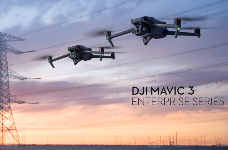
How the New DJI Mavic3 Enterprise Series sets Ultimate Standard for Portable Commercial Drones over DJI Phantom4s and Mavic2s
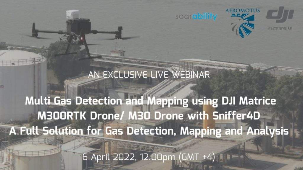
Multi Gas Detection and Mapping using DJI Matrice M300RTK Drone/ M30 Drone with Sniffer4D (A Full Solution for Gas Detection, Mapping and Analysis)

Inquire price for

    ×