
The use of professional drones in archaeological research


-
DJI ZENMUSE XT, Z3, Z30, X7, X5, H, GIMBALS, CAMERAS, SENSORS
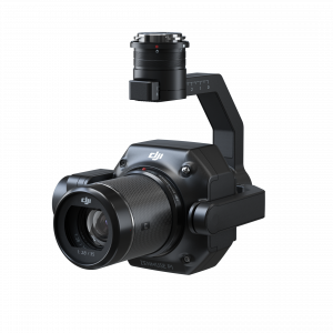
DJI Zenmuse P1
The Zenmuse P1 integrates a full-frame sensor with interchangeable fixed-focus lenses on a 3-axis stabilized gimbal. Designed for photogrammetry flight missions, it takes efficiency and accuracy to a whole new level.
SKU: n/a
-
DJI ENTERPRISE, DJI ZENMUSE XT, Z3, Z30, X7, X5, H, GIMBALS, CAMERAS, SENSORS, LIDAR SYSTEMS
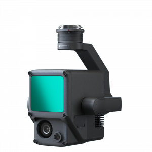
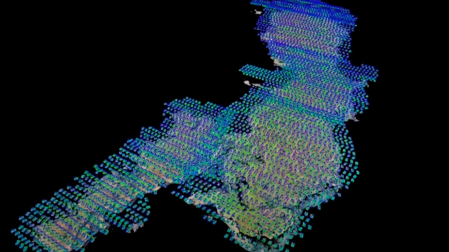
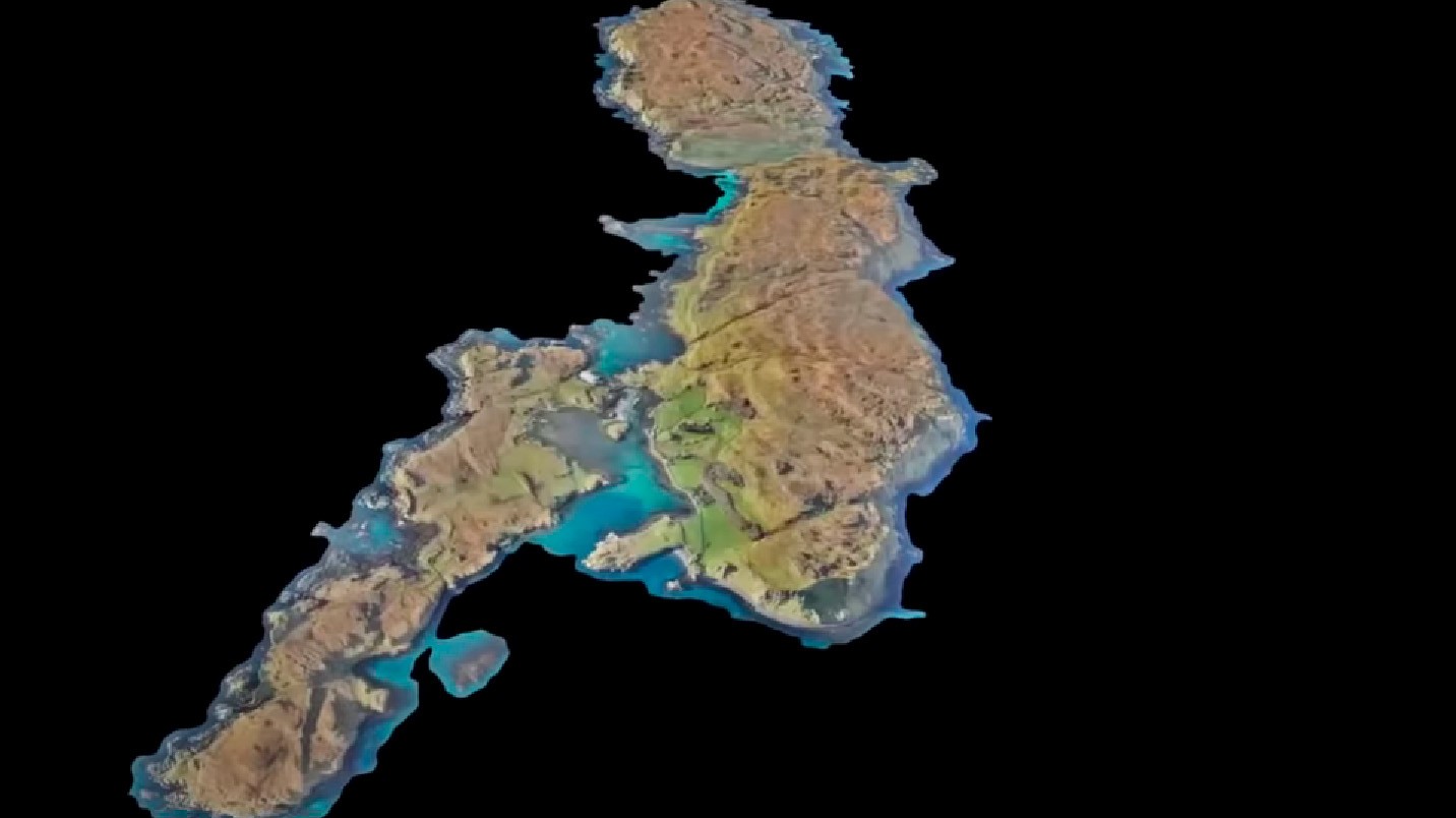
DJI Zenmuse L1 (LIDAR)
 DJI ENTERPRISE, DJI ZENMUSE XT, Z3, Z30, X7, X5, H, GIMBALS, CAMERAS, SENSORS, LIDAR SYSTEMS
DJI Zenmuse L1 (LIDAR)
The Zenmuse L1 integrates a Livox Lidar module, a high-accuracy IMU, and a camera with a 1-inch CMOS on a 3-axis stabilized gimbal. When used with Matrice 300 RTK and DJI Terra, the L1 forms a complete solution that gives you real-time 3D data throughout the day, efficiently capturing the details of complex structures and delivering highly accurate reconstructed models
SKU: n/a

-
GIMBALS, CAMERAS, SENSORS, Industrial Drones
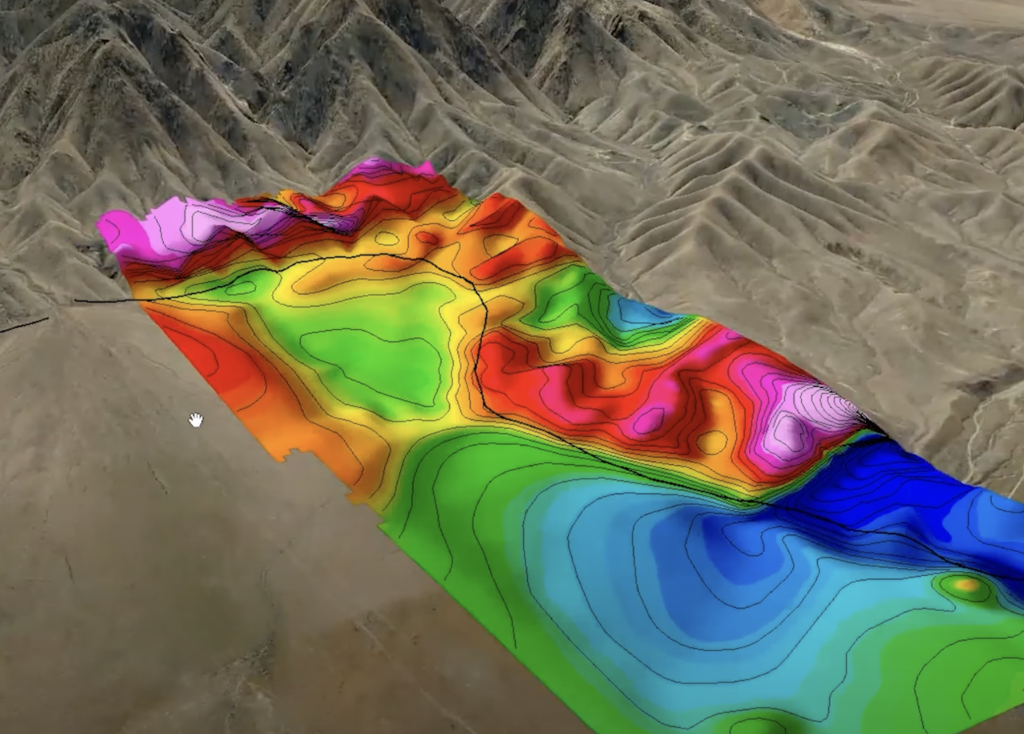
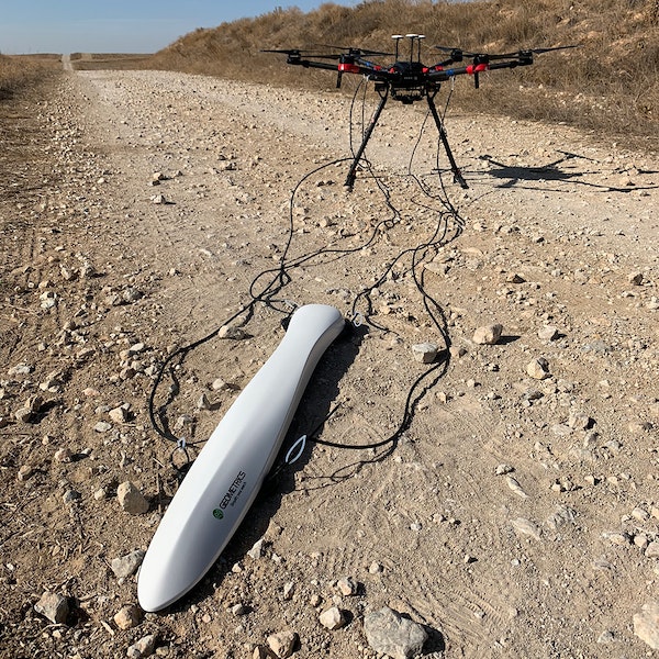
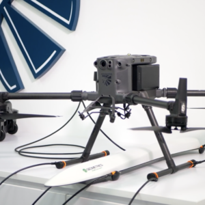
Geometrics MagArrow magnetometer
The MagArrow is engineered to simplify surveys that are difficult due to the various limitations of pilot-on-board surveys and ground surveys. The MagArrow is a robust yet flexible system that can adapt to changing field conditions and new user workflows. The MagArrow consists of an aerodynamic, light-weight carbon fiber shell with internal electronics including the MFAM™ magnetic sensors, GPS, and IMU. The MFAM™, a two sensor module inside the MagArrow is our most groundbreaking magnetometer yet, capable of highly precise measurements in an extremely lightweight and tiny package.
SKU: n/a


