LiDAR is a remote sensing technology which uses the pulse from a laser to collect measurements which can then be used to create 3D models and maps of objects and environments. LIDAR scanning. LIDAR Sensor
LIDAR SYSTEMS Categories
LIDAR SYSTEMS
Showing all 10 results
-
LIDAR SYSTEMS
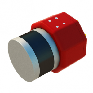
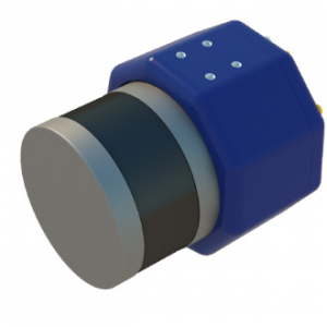
Laser scanner for UAV AGM-MS3
Cost-effective multifunctional solution for mobile and airborne laser scanning from unmanned aerial vehicles (UAVs).
Usual applications:
› engineering surveys;
› creating three-dimensional models of infrastructure objects;
› inventory and diagnostics of the roads and railways;
› creating GIS for various purposes;
› mine surveying;
› and others.SKU: n/a -
-
DJI ENTERPRISE, DJI ZENMUSE XT, Z3, Z30, X7, X5, H, GIMBALS, CAMERAS, SENSORS, LIDAR SYSTEMS
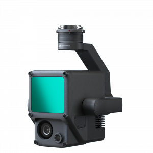
DJI Zenmuse L1 (LIDAR)
 DJI ENTERPRISE, DJI ZENMUSE XT, Z3, Z30, X7, X5, H, GIMBALS, CAMERAS, SENSORS, LIDAR SYSTEMS
DJI Zenmuse L1 (LIDAR)
The Zenmuse L1 integrates a Livox Lidar module, a high-accuracy IMU, and a camera with a 1-inch CMOS on a 3-axis stabilized gimbal. When used with Matrice 300 RTK and DJI Terra, the L1 forms a complete solution that gives you real-time 3D data throughout the day, efficiently capturing the details of complex structures and delivering highly accurate reconstructed models
SKU: n/a -
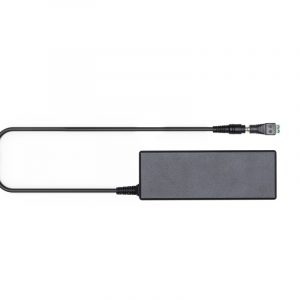
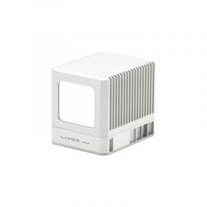
Livox
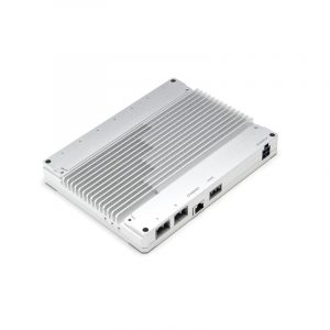
Livox Hub
Livox Hub communicates with each LiDAR sensor connected, reading each sensor’s connection status, firmware version, and working state. Livox Hub is capable of unifying the point cloud data into the user’s coordinate system and integrating all LiDAR point cloud data into a single output. Time synchronization is supported by IEEE 1588-2008 (PTPv2) and GPS. Livox Hub also supports SDK user development.
SKU: n/a