Meet the New DJI Surveying Solutions! Leave a comment
Meet the New DJI Surveying Solutions!
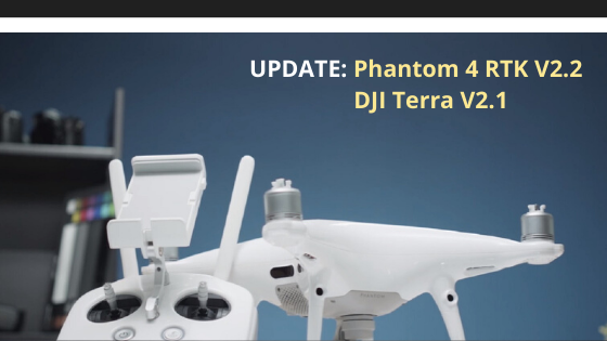
We have great news for those who are interested in a series of product updates that can make surveying operations more effective. Recently, DJI released the new versions of well-known products, such as DJI Terra and Phantom 4 RTK. So let’s look at the main updates and the new features that can improve the productivity of these tools.
DJI Terra V2.1
Now users have more license options for this device. They have a fair opportunity to use a perpetual license for long term use. The new features include:
- A new Corridor Mission Plan. Thanks to this option, users can make automated flight missions above roads or railways. To complete this mission, it is enough just to draw a line on the map.
- 3D flight planning. Due to this option, users can visualize a dense 3D point cloud in real-time. Simply put, 3D flight planning is easier now!
- Now, you can set Checkpoints or Ground Control Points and achieve high-quality 2D and 3D reconstructions.
- The capability to convert maps into an 8500+ coordinate system is another benefit of this version.
- Detailed reports after each mission to ensure that you complete your mission successfully.
Thanks to real-time mapping options, users of DJI Terra can enjoy the benefits of real-time mapping. To put it simply, you can very quickly generate a picture of the chosen area in a real-time mode. This option is useful for creating precise flight paths in distant areas and for developing time-sensitive missions.
Moreover, you can also generate high-quality orthomosaic and get precise results for the majority of your projects. Due to the 3D reconstruction option, you can create realistic representations of the surrounding area.
Data analysis is also easier now. You can receive the main dimensions across the terrains with the help of simple analysis tools. You can also edit measurements of existing models and inspect every image elaborately.
Phantom 4 RTK V2.2
It’s another update, which is worth your attention. The new version of a well-known drone will have a broad selection of superb features, such as:
- The capability to use the benefits of the D-RTK 2 High Precision GNSS Mobile Station. This device can perform the function of an RTK rover. As a result, users have more benefits when it comes to flight planning.
- The powerful Cloud PPK Service, which allows users to make PPK corrections in the app.
- The capability to subdivide big areas into simple flight missions. Thanks to this option, the efficiency of mission planning will be higher.
- Users of this version have a chance to use the benefits of the Elevation Accuracy Optimization option. It is now at your disposal! This means that now users have access to Block Segmentation and Photogrammetry 2D missions.
Overall, these updates are focused on the needs of users. Thanks to them, your work will be more effective and more precise!