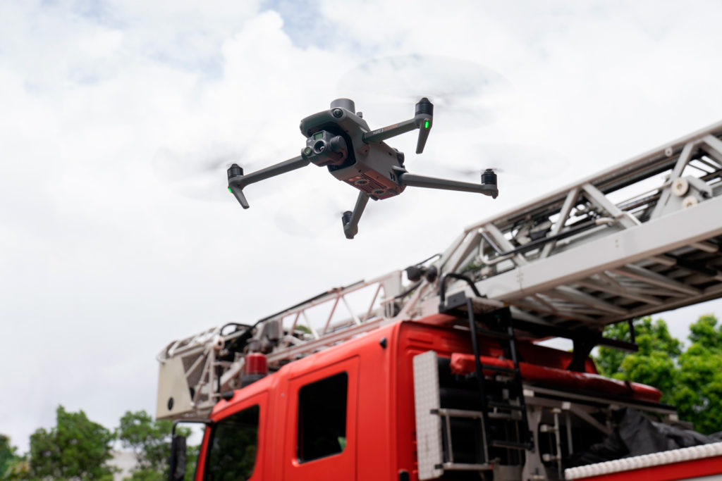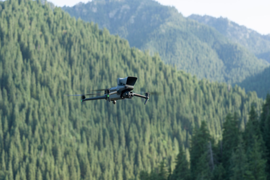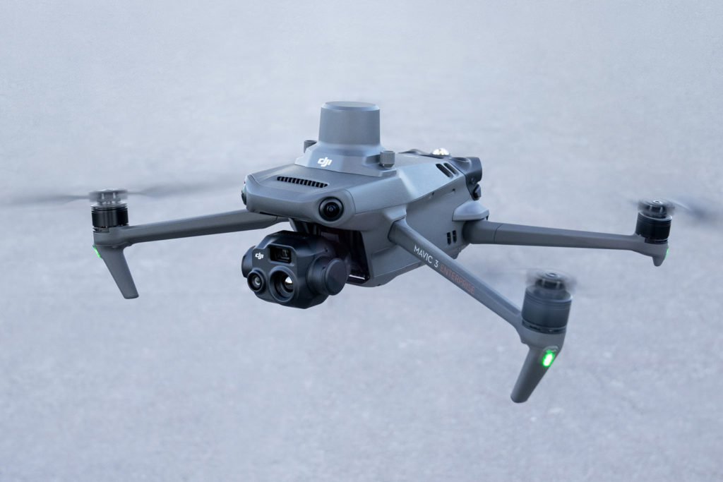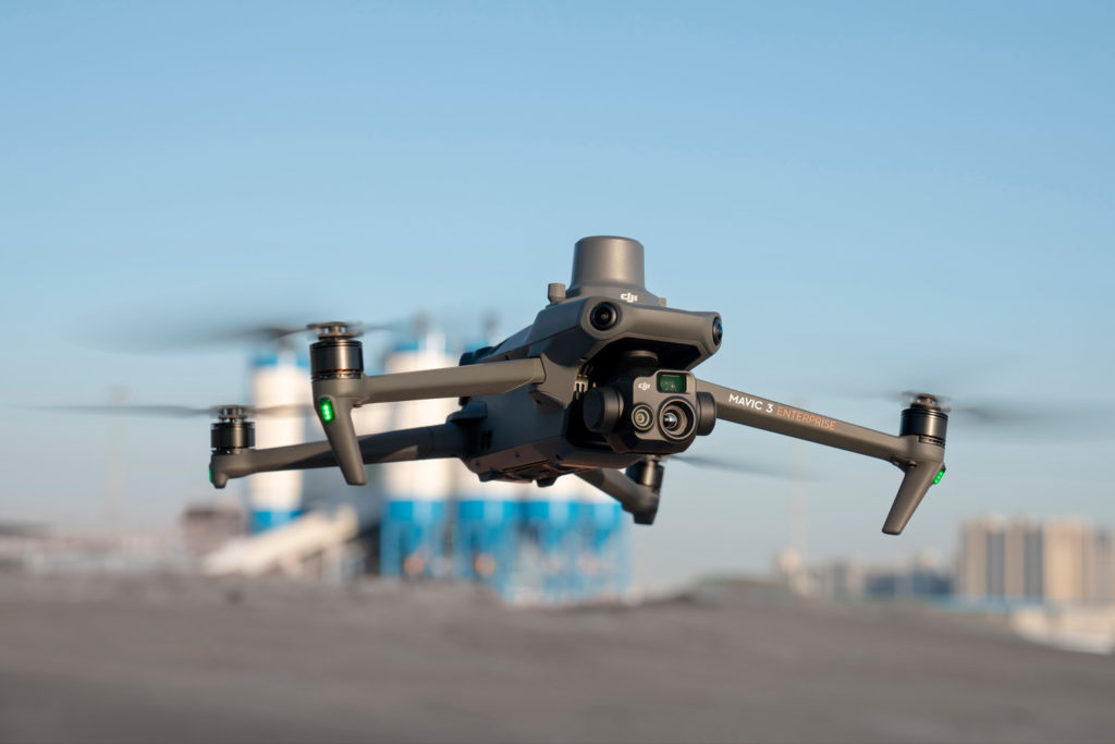
New DJI Mavic 3 Enterprise compact drone series sets high standard for industrial drones
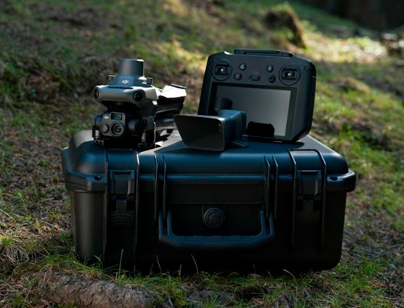
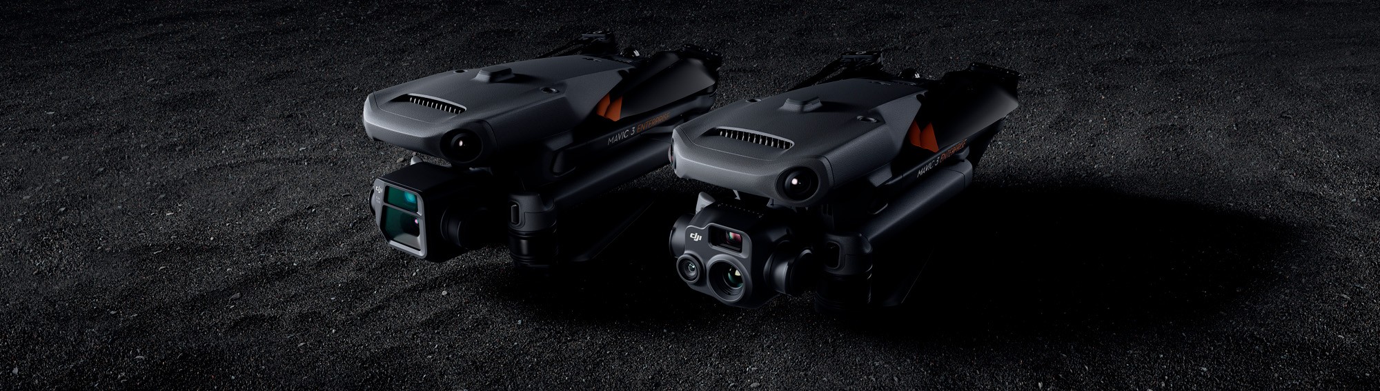

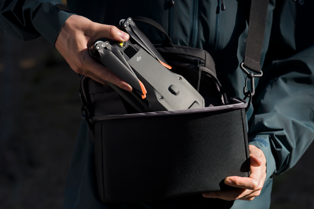
Compact and Portable

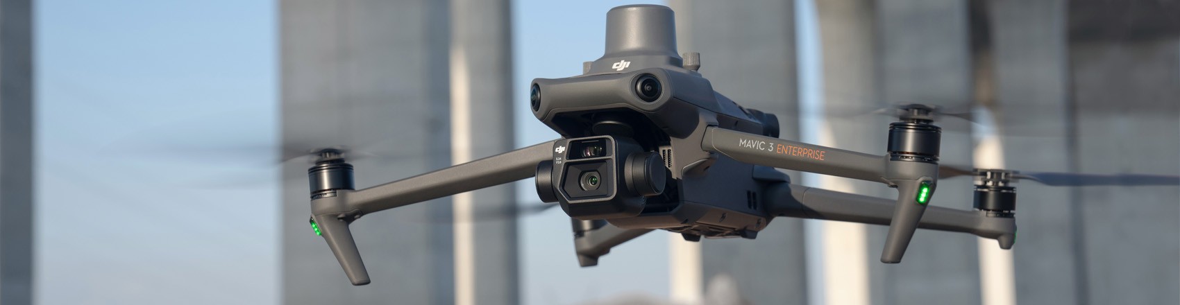
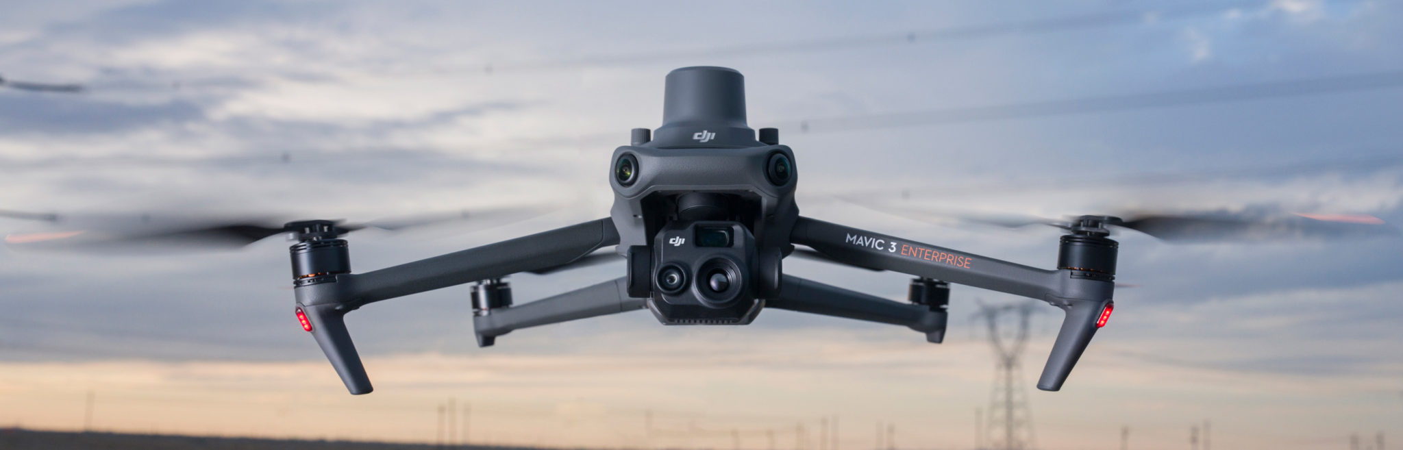
4/3 CMOS Wide Camera [1]

56× Hybrid Zoom

56× Hybrid Zoom

45-min Max Flight Time [3]

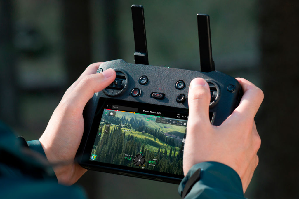
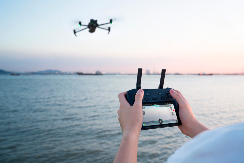
DJI O3 Enterprise Transmission

Centimeter-level Positioning with RTK [4]

High-Volume Loudspeaker [4]