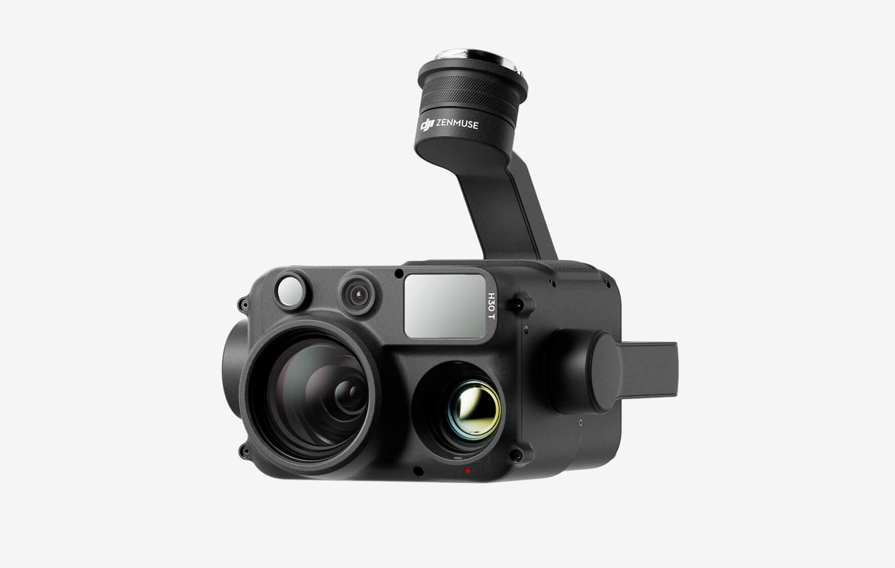
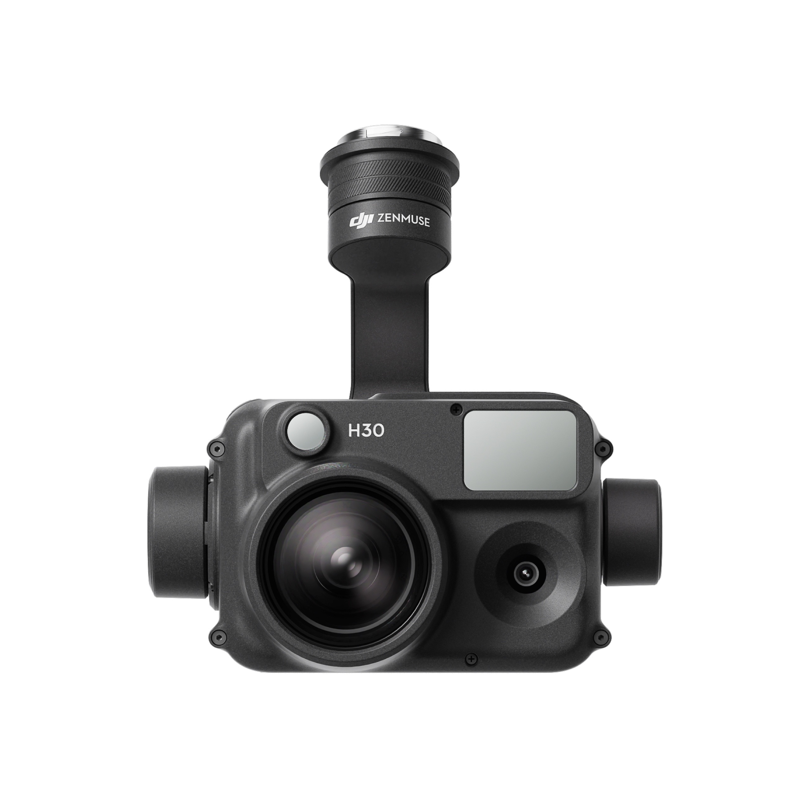
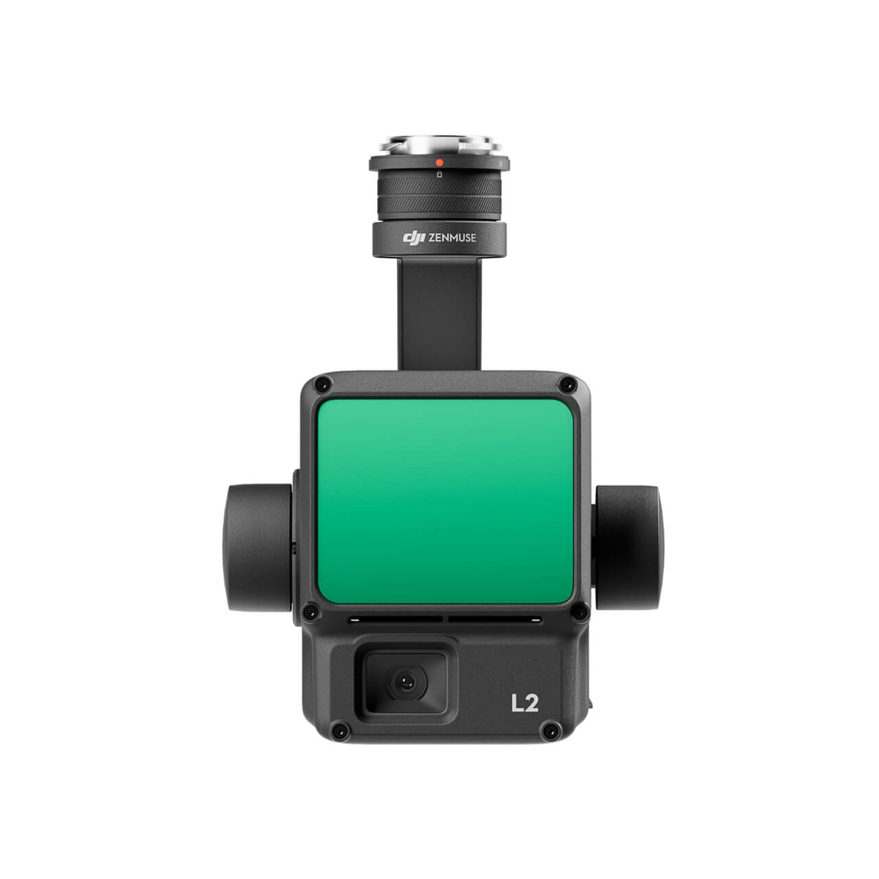
Pix4D Mapper

Pix4Dmapper turns your images into highly precise, georeferenced 2D maps and 3D models. They’re customizable, timely, and complement a wide range of applications and software.

Category Tag

pix4dmapper1PIX4D mapper: Professional photogrammetry software

Pix4Dmapper turns your images into highly precise, georeferenced 2D maps and 3D models. They’re customizable, timely, and complement a wide range of applications and software.

Скриншот 12-08-2018 142420

Скриншот 12-08-2018 142526

Highlights:

3D Point Cloud

Accurate digital reconstruction and the geolocation of each point. Displayed in RGB or class colors.

Скриншот 12-08-2018 140706

Digital Surface & Terrain Model

Get the elevation value of each pixel, with or without above-ground objects, ready for your preferred GIS workflow

Скриншот 12-08-2018 140717

Orthomosaic

A geolocated high-resolution map with each pixel of the original images projected onto the digital surface model

Скриншот 12-08-2018 141007

Volume Calculation

Accurate volume calculations on a perfect representation of your stockpiles, with fully-adjustable base height

Скриншот 12-08-2018 141110

Contour Lines

A simplified representation of the topography with closed contours displaying the elevation.

Скриншот 12-08-2018 141204

3D Textured Model

Triangular mesh with photorealistic texture.

Скриншот 12-08-2018 141307

Reflectance Maps

Assess reflectance based on the pixel value in multispectral or thermal imagery.

Скриншот 12-08-2018 141403

Index Maps (e.g. NDVI, NDRE)

Work with well-known indices such as NDVI and NDRE or create custom indices.

Скриншот 12-08-2018 141439

Application Maps

Aggregate and visualize the values derived from your index maps.

Скриншот 12-08-2018 141512

Thermography

A radiometrically-accurate map with a temperature value of each pixel

Скриншот 12-08-2018 141544

Скриншот 12-08-2018 141624

Category: Tag:

Based on 0 reviews

0.0 overall
0
0
0
0
0

Be the first to review “Pix4D Mapper”

There are no reviews yet.

Matrice 350 RTK

An upgraded flagship drone platform, the Matrice 350 RTK sets a new benchmark for the industry. This next-generation drone platform features an all-new video transmission system and control experience, a more efficient battery system, and more comprehensive safety features, as well as robust payload and expansion capabilities. It is fully powered to inject innovative strength into any aerial operation.

Buy
GPR system: Radar Systems Zond Aero LF (low frequency)

Extra-lightweight GPR system, suitable for medium-sized drones like DJI M300 RTK.

Comes with 3x sets of dipoles for the 300, 150, and 100 MHz.

Utilizes Real Time Sampling (RTS) with high hardware stacking, delivering high-resolution low-noise data.

Buy
Laser Falcon methane detector

Laser Falcon is sensitive only to methane, so no false readings of other gases are possible. It is a class 3R eye-safe laser.

The concept is based on Infrared Absorption Spectroscopy. The laser emits light (spectral range of 1,65 μm), which reflects back and is captured by the sensor. The outgoing and incoming signals are compared with the built-in reference cell. If methane is present along the laser path, the laser light is partially absorbed. An algorithm calculates the gas concentration in ppm×m (parts per million multiplied by meter). The value is instantly transferred to the remote control (RC) of the drone pilot and to UgCS software.

Buy

Inquire price for

    ×