Pix4D Model

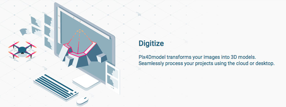
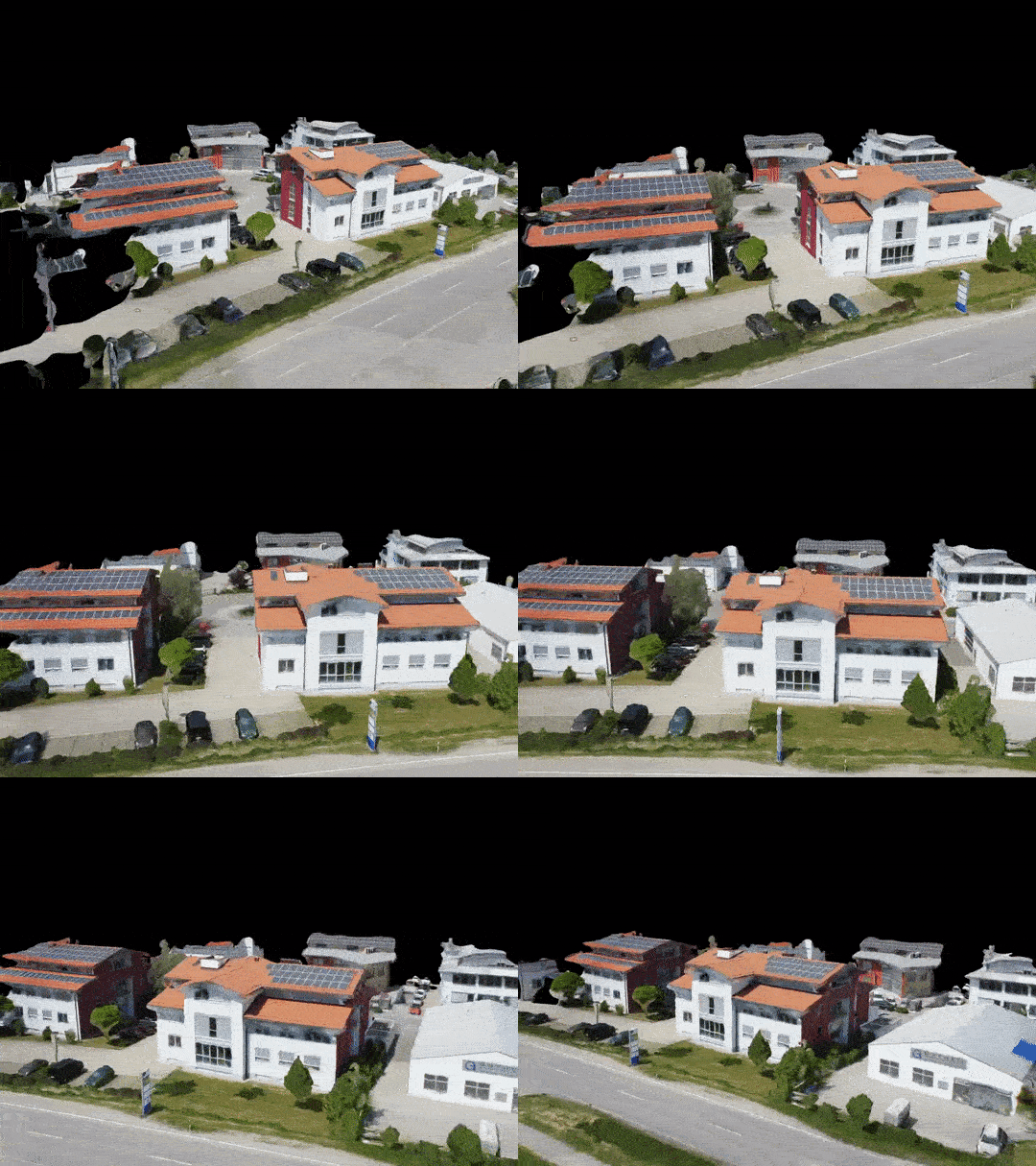
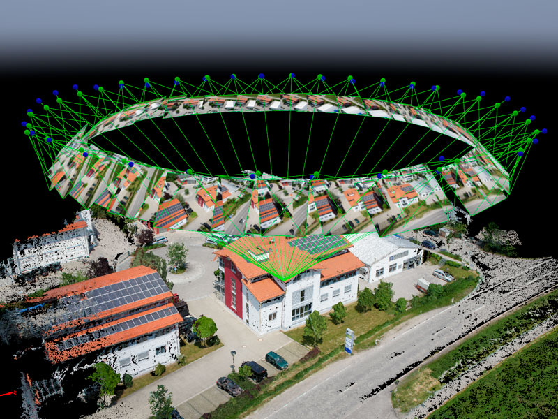
Pix4Dmodel is a software to start 3D modeling with your consumer drone.This tool processes images automatically in Pix4Dmodel to create photorealistic 3D models from drone images.Pix4Dmodel is an image-based modeling software that integrates seamlessly with companies’ internal and external communication strategies in the real estate and renovation industries.Using images captured by drone, Pix4Dmodel generates photorealistic 3D models. Workflow also becomes more fluid thanks to the ability to annotate and share measurements via the Pix4D cloud.

Category Tag

 Capturing reality in minutes using photogrammetric modeling

Desktop and cloud image processing

3D modeling made simple
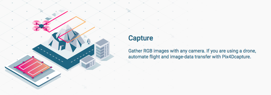
All you need is a camera and Pix4Dmodel.
Communicate in 3D
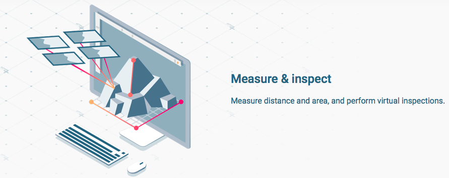
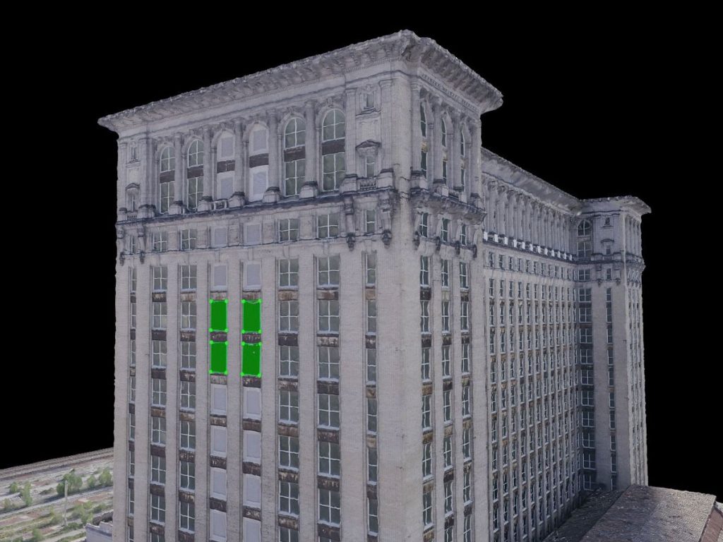
Get the full picture, measure, inspect, and add comments in a 3D context. Share with clients and other stakeholders.
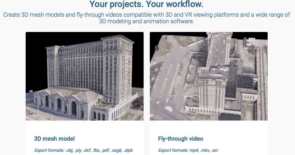
Versatile workflow integration
Compatible with 3D modeling and animation software, VR, and 3D printing.
Category: Tag:

Based on 0 reviews

0.0 overall
0
0
0
0
0

Be the first to review “Pix4D Model”

There are no reviews yet.

Matrice 350 RTK

An upgraded flagship drone platform, the Matrice 350 RTK sets a new benchmark for the industry. This next-generation drone platform features an all-new video transmission system and control experience, a more efficient battery system, and more comprehensive safety features, as well as robust payload and expansion capabilities. It is fully powered to inject innovative strength into any aerial operation.

Buy
GPR system: Radar Systems Zond Aero LF (low frequency)

Extra-lightweight GPR system, suitable for medium-sized drones like DJI M300 RTK.

Comes with 3x sets of dipoles for the 300, 150, and 100 MHz.

Utilizes Real Time Sampling (RTS) with high hardware stacking, delivering high-resolution low-noise data.

Buy
Laser Falcon methane detector

Laser Falcon is sensitive only to methane, so no false readings of other gases are possible. It is a class 3R eye-safe laser.

The concept is based on Infrared Absorption Spectroscopy. The laser emits light (spectral range of 1,65 μm), which reflects back and is captured by the sensor. The outgoing and incoming signals are compared with the built-in reference cell. If methane is present along the laser path, the laser light is partially absorbed. An algorithm calculates the gas concentration in ppm×m (parts per million multiplied by meter). The value is instantly transferred to the remote control (RC) of the drone pilot and to UgCS software.

Buy

Inquire price for

    ×