

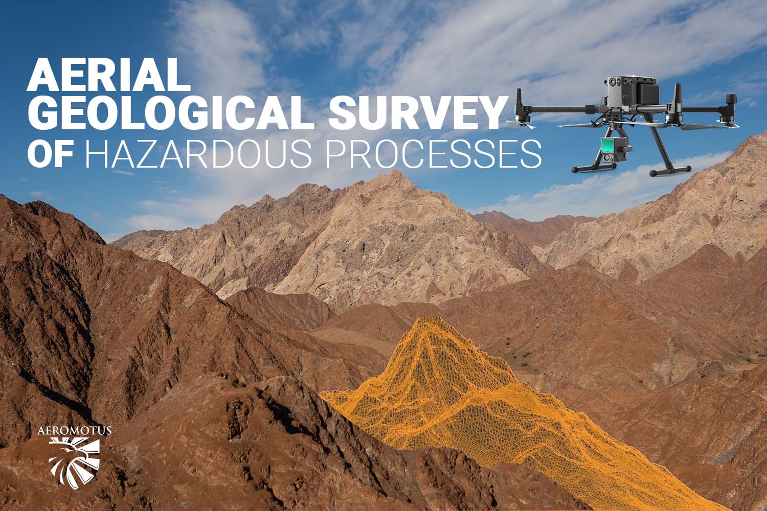
Drone piloting has come a long way since it was just a hobby for tech-savvy
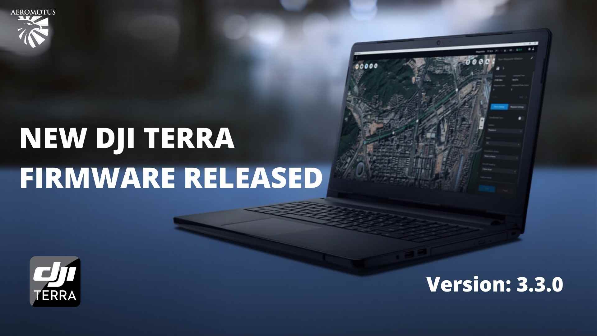
Drone piloting has come a long way since it was just a hobby for tech-savvy
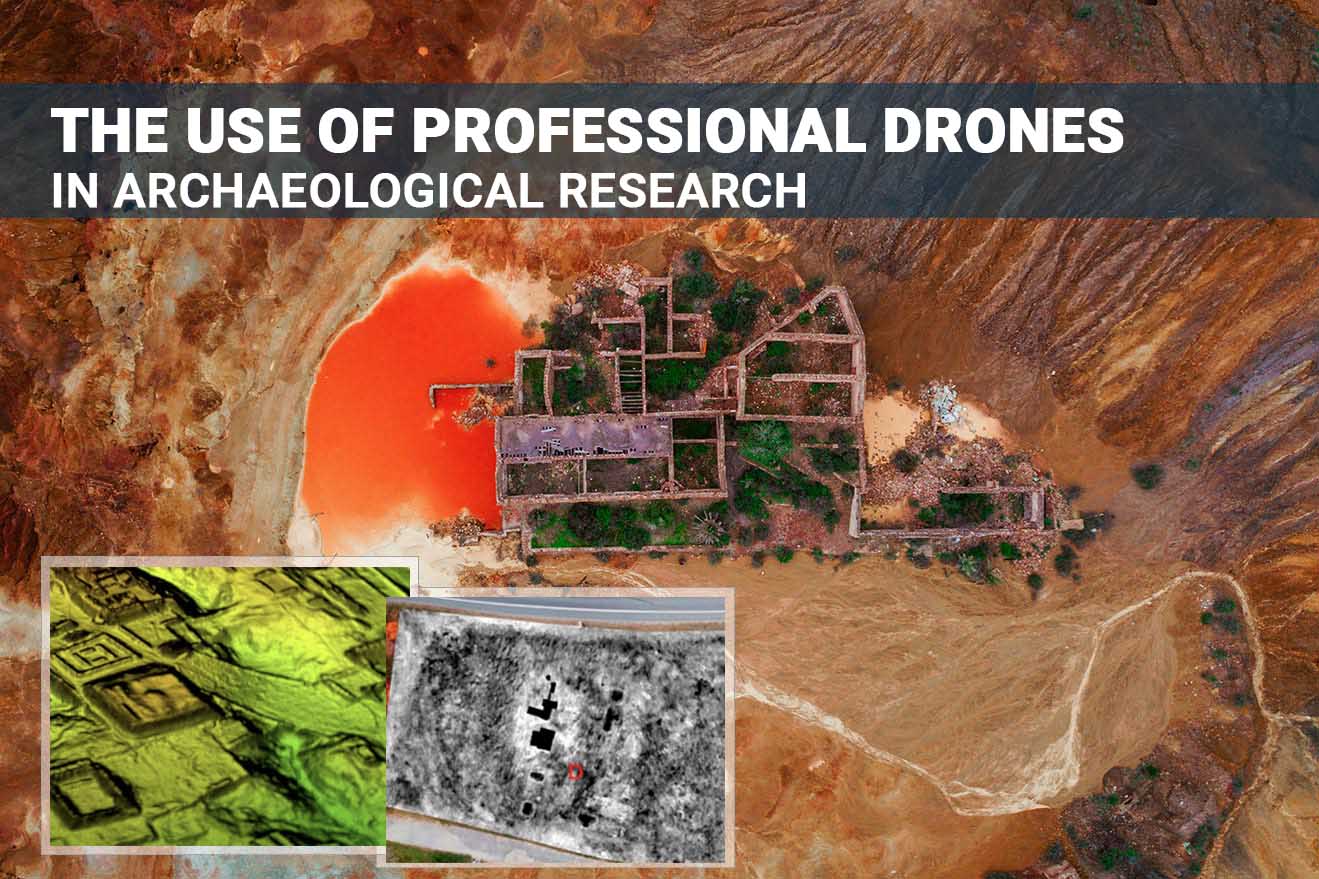
One of the most remarkable archaeological trends of the last decades is the growing popularity
One of the world’s largest gas producers, the Middle East accounts for 38.4% of global
Proof-of-Concept and Demo at Abu Dhabi – DJI Phantom4 RTK DJI Phantom4 RTK Drone delivering
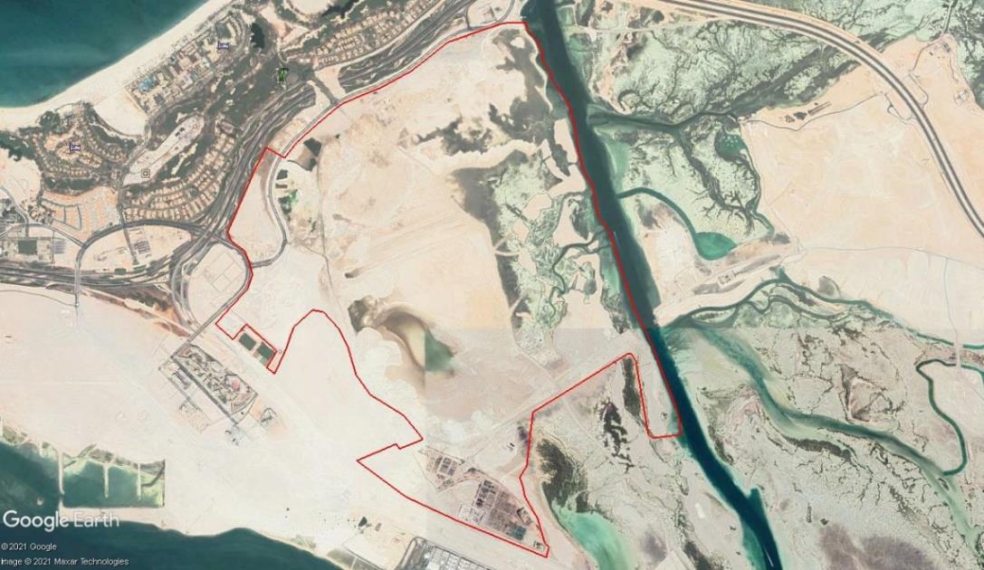
Proof-of-Concept and Demo at Abu Dhabi – DJI Matrice 300 RTK with P1 DJI Matrice
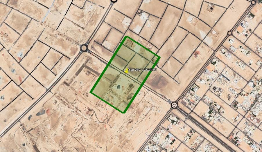
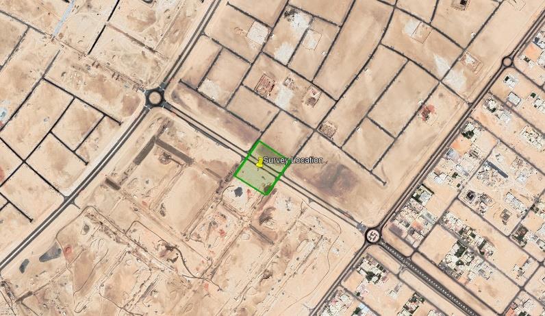
Use Case_DJI Phantom4 RTK Drone in Topographical Survey in Saadiyat Lagoons District Enabling Works at
Drone piloting has come a long way since it was just a hobby for tech-savvy enthusiasts. Thanks to the increased
One of the most remarkable archaeological trends of the last decades is the growing popularity of UAV – use in
One of the world’s largest gas producers, the Middle East accounts for 38.4% of global gas production. In addition to