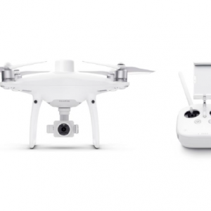
Proof-of-Concept and Demo at Abu Dhabi – DJI Phantom4 RTK
Sanju Mathew, Sales Manager, Aeromotus Dubai (DJI Enterprise Drone Solution)
Saif Bin Darwish, Abu Dhabi, United Arab Emirates
Purpose of the POC / Demo
Summary
Summary / Findings from POC
| Drone/ Camera Model | Phantom 4 RTK |
| Area Covered | 24.7 Ha |
| Total Flight Time | 90 minutes |
| No of Images Captured | 1675 |
| Total Size of Raw Images | 13.8 GB |
| Processing Time – Ortho + DSM | 78 minutes |
| Processing Time – Point Cloud + 3D Model | 319 minutes |
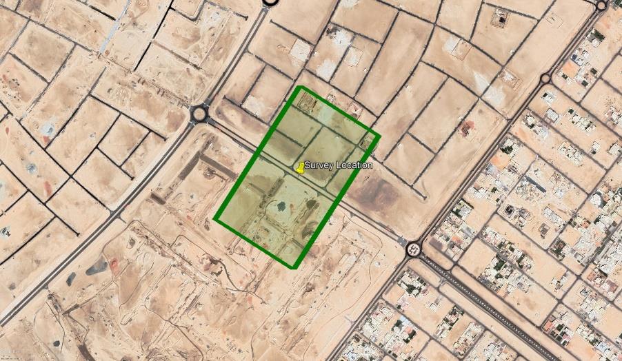
Survey Location
HSE
Drones for Survey & Measurement
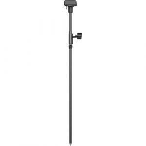
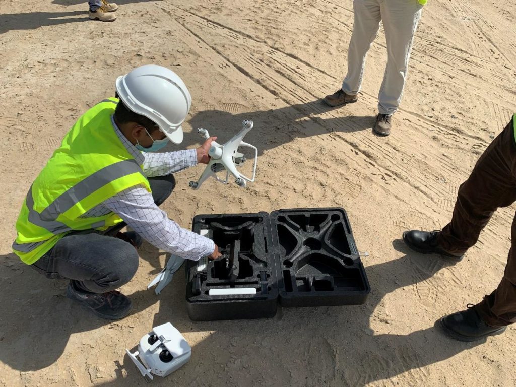
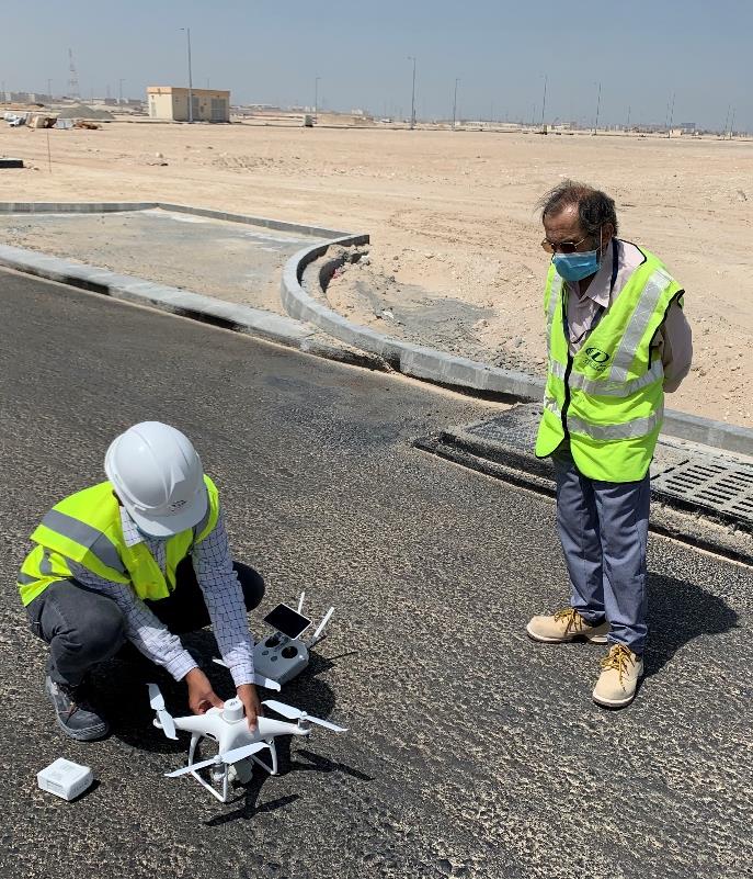
- DJI Phantom 4 RTK Drone with DJI’s DRTK Mobile Station for Phantom Series.
-
DJI ENTERPRISE, DJI PHANTOM
DJI Phantom 4 RTK SDK
0 out of 5(0)The Phantom 4 RTK SDK package is essentially the same as the market leading Phantom 4 RTK except that it includes the Phantom 4 RTK SDK Remote Controller without screen. In addition to supporting Ground Station Pro, pilots with experience using 3rd party applications on DJI drones are able to access the world’s leading drone app ecosystem for their Phantom 4 RTK with the SDK remote controller. Users can plug in a compatible Android or iOS device and install any compatible DJI Mobile SDK-enabled app to harness the full power of their Phantom 4 RTK
SKU: n/a -
DJI ENTERPRISE, DJI PHANTOM
DJI D-RTK 2 GNSS Mobile Station for Phantom 4 RTK Drones
0 out of 5(0)- Works with Phantom 4 RTK & MG-1P RTK
- Centimeter-Level Mapping Precision
- Accesses GPS, GLONASS, Beidou & GALILEO
- Connects via 4G, OcuSync, Wi-Fi & LAN
- Connect up to 5 Remote Controllers
- Carbon Fiber Body
- IP67-Rated Water & Dust Resistance
- Built-In IMUs Monitor Movement
- IMUs Alert Operators of Abnormalities
SKU: n/a
Methodology
1. Pre – Survey
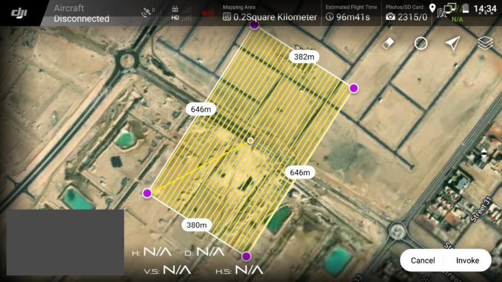
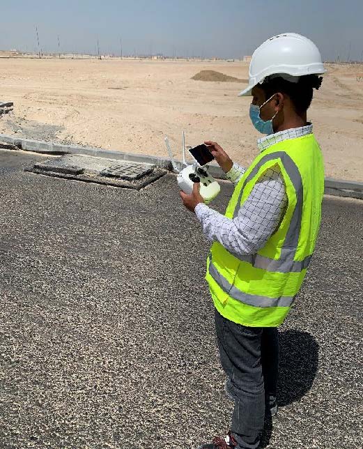
- The mission plans were created using DJI’s GS RTK App on DJI Smart Controller.
- The flight altitude was set to 36m above ground.
- The side overlap was set to 65% and front overlap was set to 75%.
- The flight speed was set to 3.5m/s.
- Camera angle was set to -90 degrees.
- The images were captured with GSD of 0.99cm/pixel.
2. Realtime Georeferencing at Site
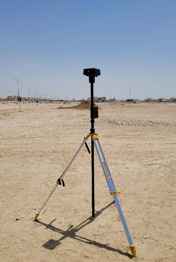
- Base Station (D-RTK2) was setup at the following coordinates:
Easting: 257326.241m
Northing: 2696114.658m
Elevation: 4.871m
- Drone IMU and Compass were calibrated before the operation
- The first flight took off at 10:00 am
3. Data Processing
- DJI Terra was used to process the images.
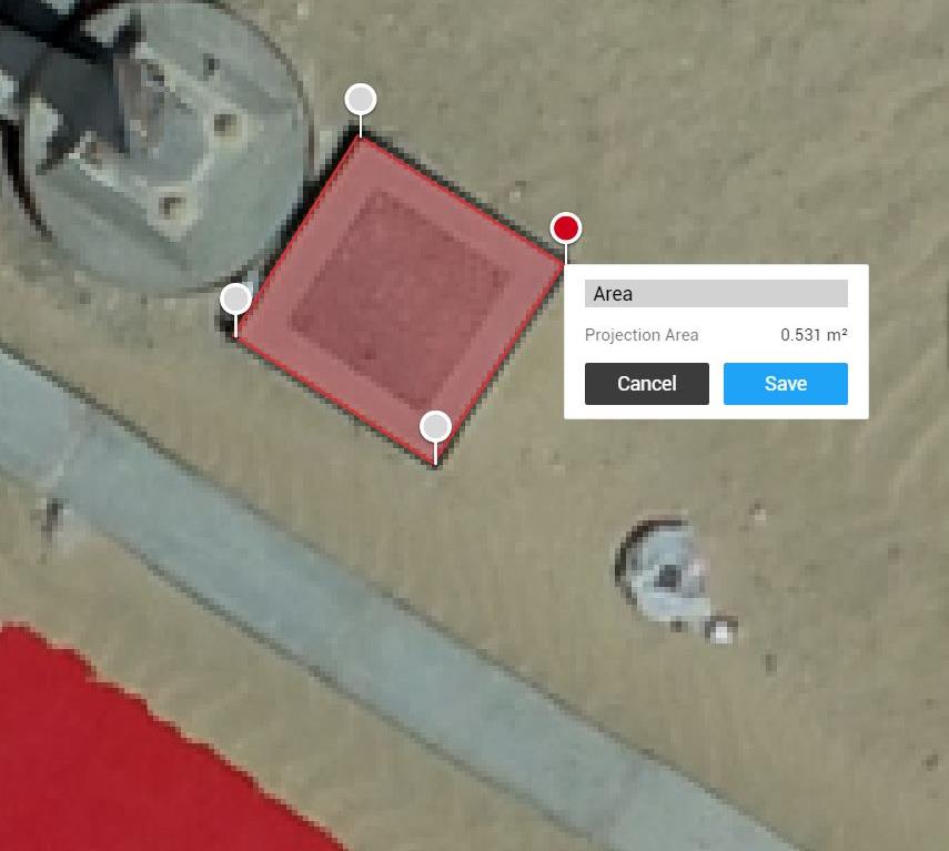
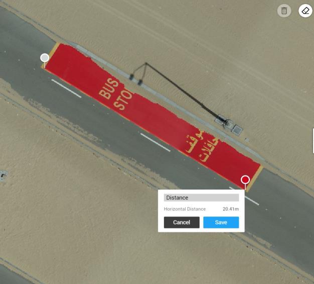
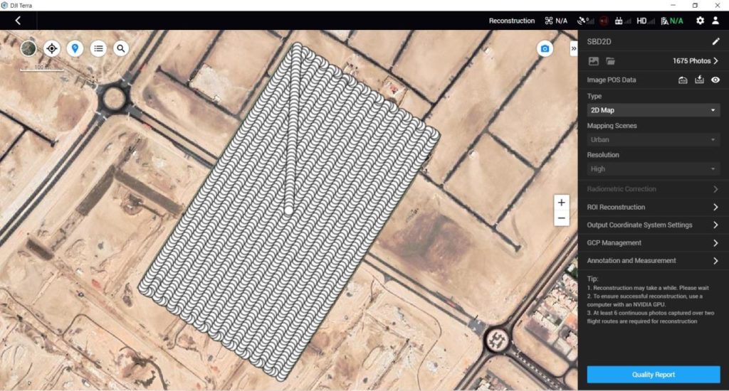
Summary
| Camera Model | Phantom 4 RTK |
| Area Covered | 24.7 Ha |
| Total Flight Time | 90 minutes |
| No of Images Captured | 1675 |
| Total Size of Raw Images | 13.8 GB |
| Processing Time – Ortho + DSM | 78 minutes |
| Processing Time – Point Cloud + 3D Model | 319 minutes |
| Processing Resolution 2D and 3D Reconstruction | High |
| Data Output formats | Point Cloud in LAS, 3D Model in OBJ, PLY, OSGB Orthomosaic in GeoTIFF, DSM in GeoTIFF |
Results and Data Representation
Contact form
Email us with any questions or inquiries or use our contact data. We would be happy to answer your questions.

