
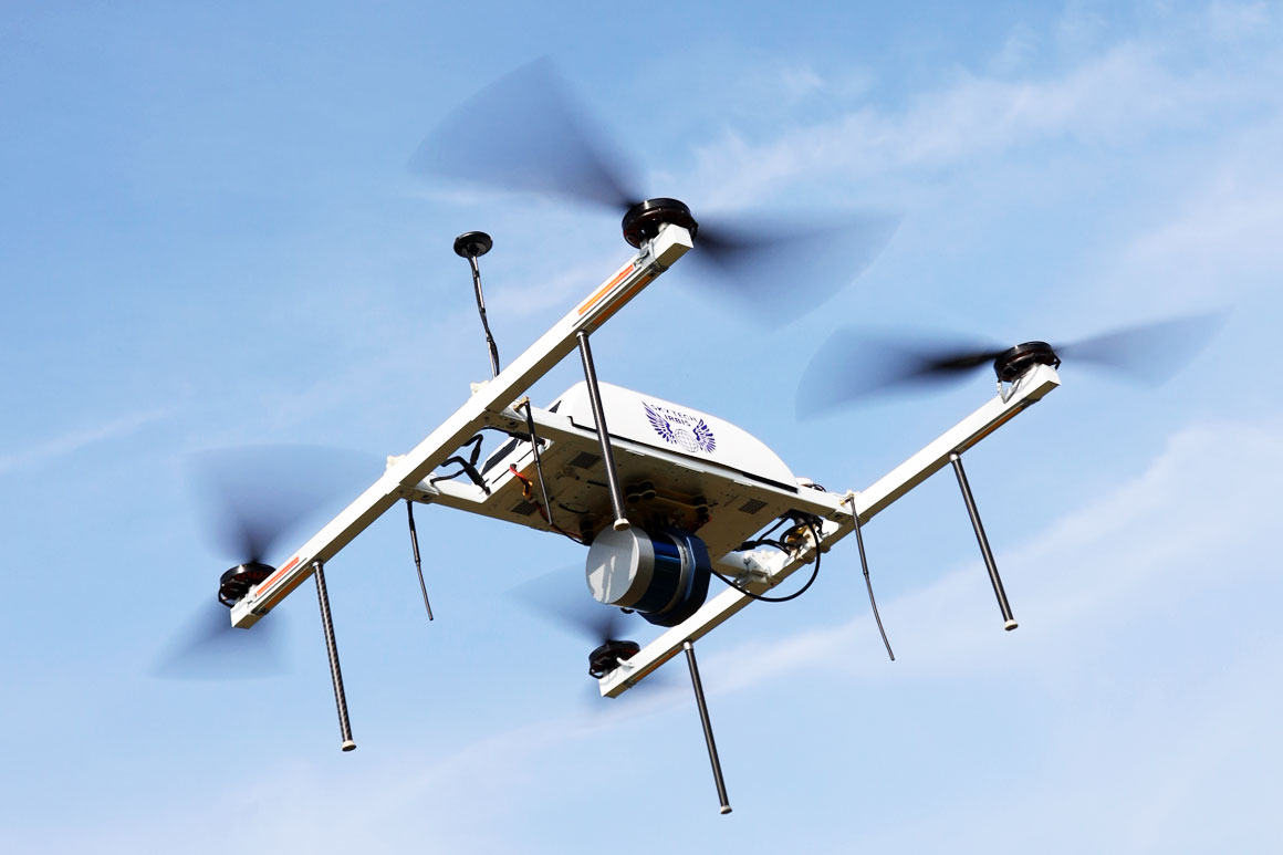
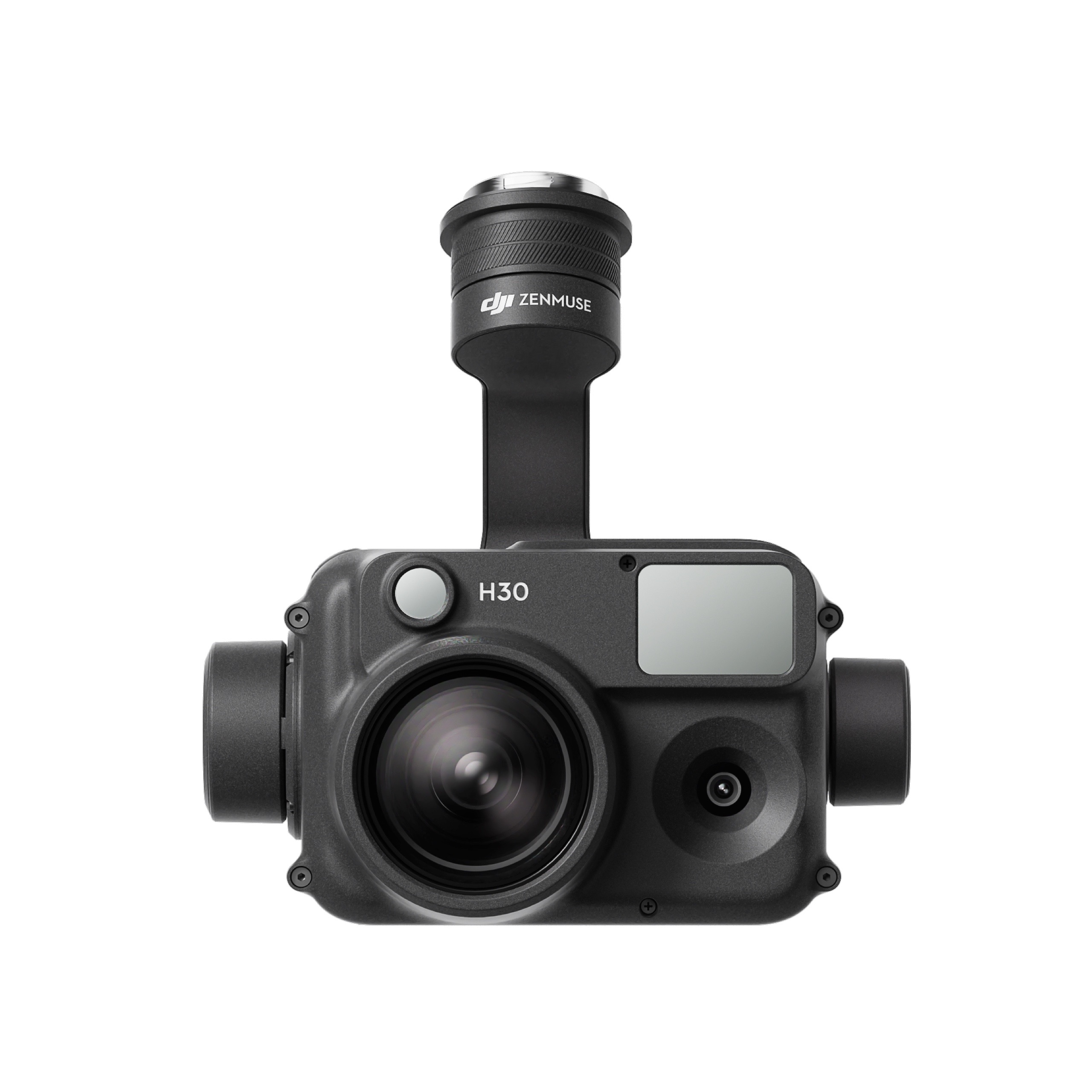
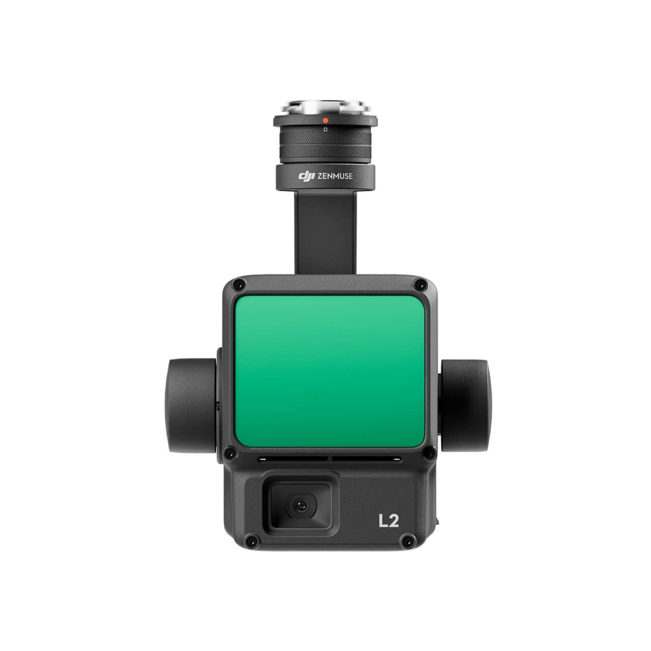
Laser scanner for UAV AGM-MS3
Cost-effective multifunctional solution for mobile and airborne laser scanning from unmanned aerial vehicles (UAVs).
Usual applications:
› engineering surveys;
› creating three-dimensional models of infrastructure objects;
› inventory and diagnostics of the roads and railways;
› creating GIS for various purposes;
› mine surveying;
› and others.
Applications of laser scanning
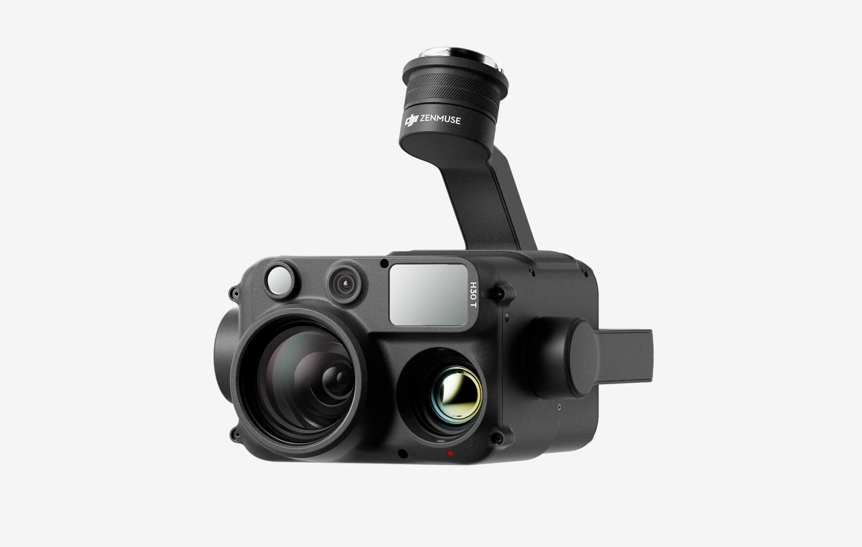
The weight of the laser scanner for the UAV is 1.5 kg, which makes it easy to install it on a wide range of unmanned aerial vehicles. The AGM-MS3 laser scanner is designed for fully autonomous operation with minimal operator involvement, which makes survey easy, fast and convenient. The ability to integrate external cameras – from panoramic to thermal imaging, opens an unlimited number of applications.
The weight of the AGM-MS3 mobile laser scanner is only 1.5 kg, taking into account the inertial navigation system AGM-PS.
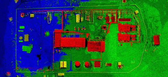
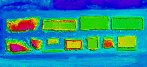
 The technology of airborne laser scanning with UAV is based on the integration of distance measurements to the underlying surface with the help of a small laser rangefinder and navigation measurements necessary for determining the trajectory of the airborne laser scanner and the angles of its orientation in space.
Airborne laser scanning with UAVs is accompanied by GNSS measurements on a network of ground base stations. On the basis of these measurements, differential corrections are made to the solution of the trajectory obtained from the navigation system of the airborne laser scanner.
As a result of joint processing of range finders measurements and trajectory, an array of laser reflection points is obtained, in which each point has spatial coordinates XYZ in the required coordinate system with high accuracy. The density of air-scan points with UAV can reach several hundreds per square meter of survey. Simultaneously with airborne laser scanning, aerial photography by a small digital camera is also carried out. Aerial photography is carried out together with definition of external orientation elements of images using the navigation systems AGM-PS. This allows you to “snap” aerial photographs to a site with high accuracy.
There are no reviews yet.