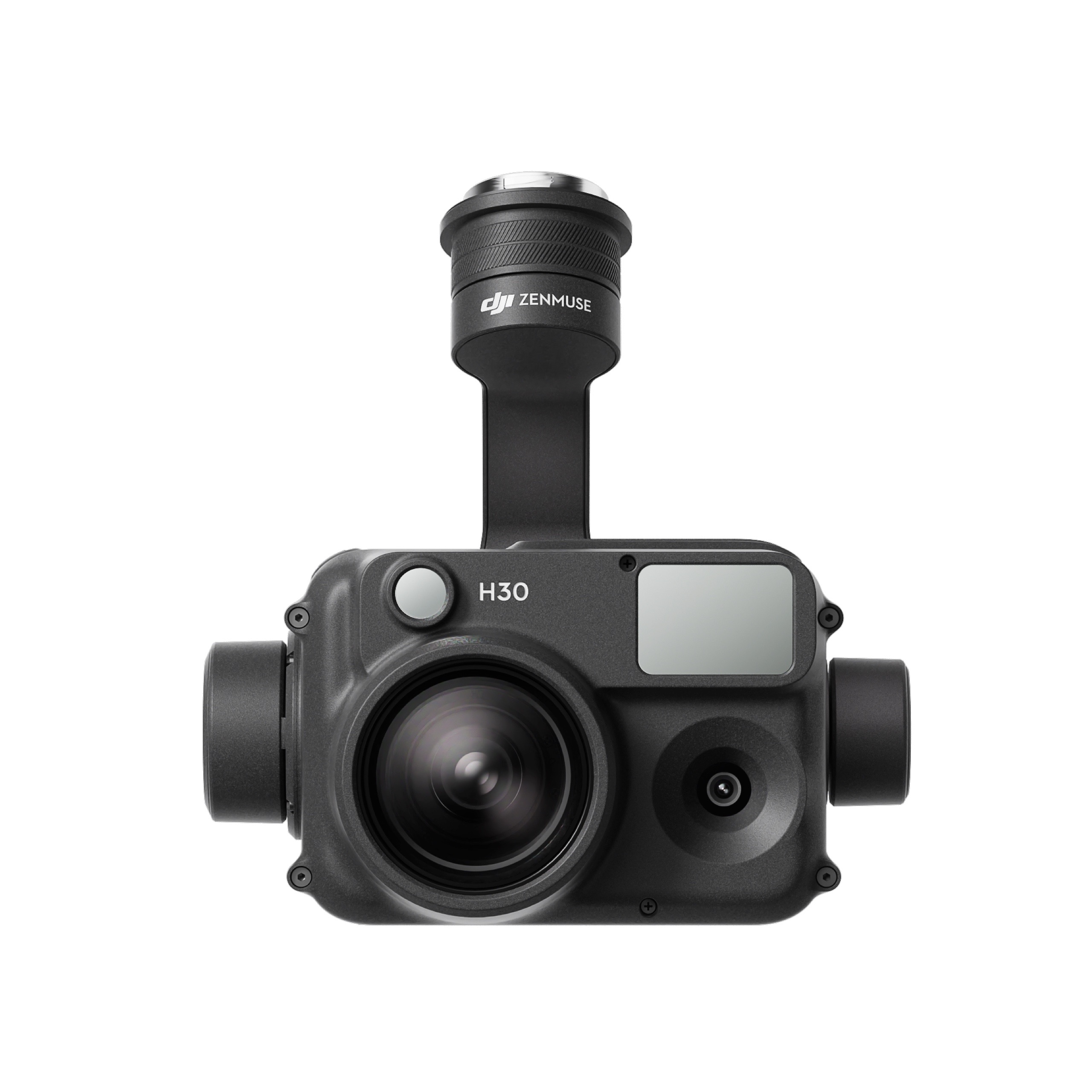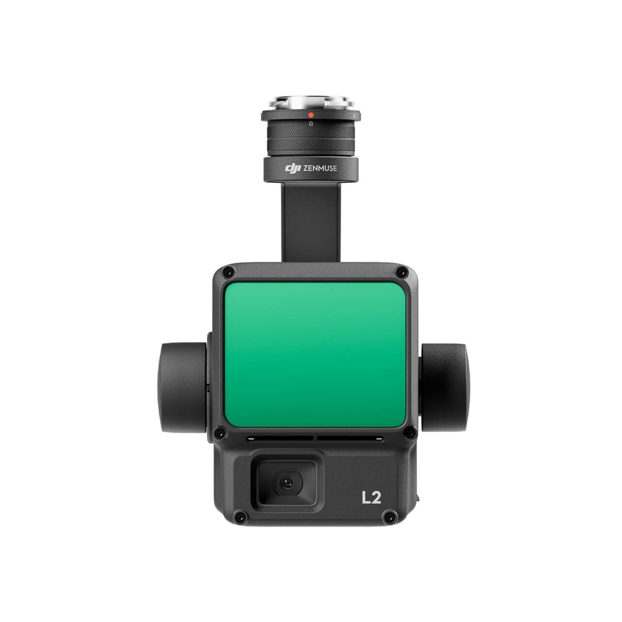
The software performs a multi-constellation (GPS, GLONASS, Beidou, Galileo) and multichannel (L1, L2, L5) GNSS postprocessing PPK of Base-Rover configurations. Such configurations can be found in many UAV / drone applications and terrestrial 3D ImageVector device. The corrected GNSS path accuracy is at centimeter level, depending on the device use, the current satellite constellation and receipt quality.
Triggers are extracted from the path and mapped to images. Outputted as plain Text, as image EXIF data or in native Agisoft, Pix4d and Google Earth files, these information can be used many other fields of applications., eg. in photogrammetry and documentation.
Features PPK – postprocessing
- Automatic and highly accurate GNSS PPK path processing and Trigger Mapping
- Compatible to own and service provider base station data. Also compressed RINEX
- Support Processing without base station data (single solution)
- Writes EXIF coordinates and accuracy into *.jpg
- Outputs TXT files for maximum compatibility in any software
- Outputs Agisoft Metashape *.psx and Pix4D Mapper *.p4d file
- Outputs a *.shp file for use in GIS software
- PDF Report
Features RTK
Category: SOFTWARE