Drone Aerial Lidar Mapping Specialist

Training & certification ( in person / virtual )

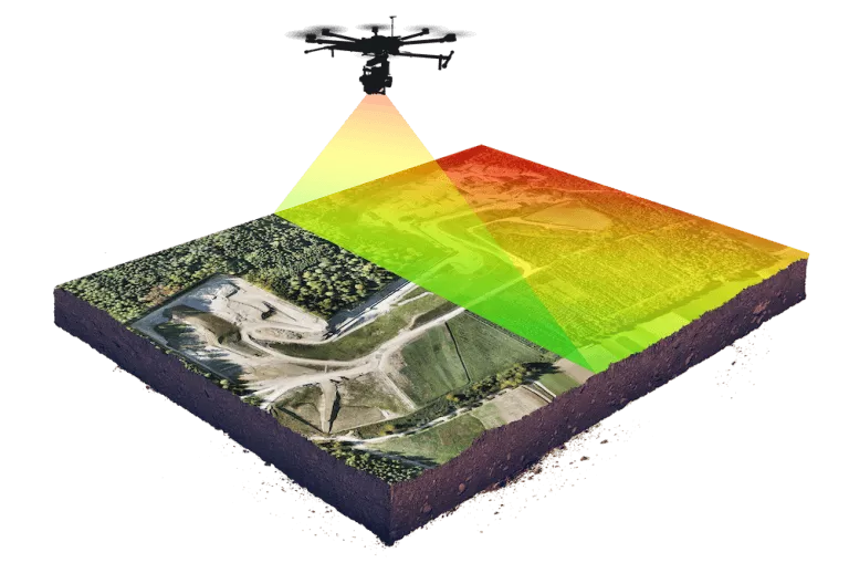
This training is aimed to providing you with the advanced level knowledge and competency needed to carry out the professional drone based surveying and mapping with a combination of classroom and hands on experience with the surveying drone, payloads, software.

Category

Training & certification ( in person / virtual )

This training is aimed to providing you with the advanced level knowledge and competency needed to carry out the professional drone based surveying and mapping with a combination of classroom and hands on experience with the surveying drone, payloads, software.

Recommended for engineers and specialists in Land Surveying and Mapping or ambitious professionals intending to commence drone based survey and mapping works.

Duration: 1 to 2 days (in person /virtual)

Training outline:

  • Classroom Knowledge classes & Field training.
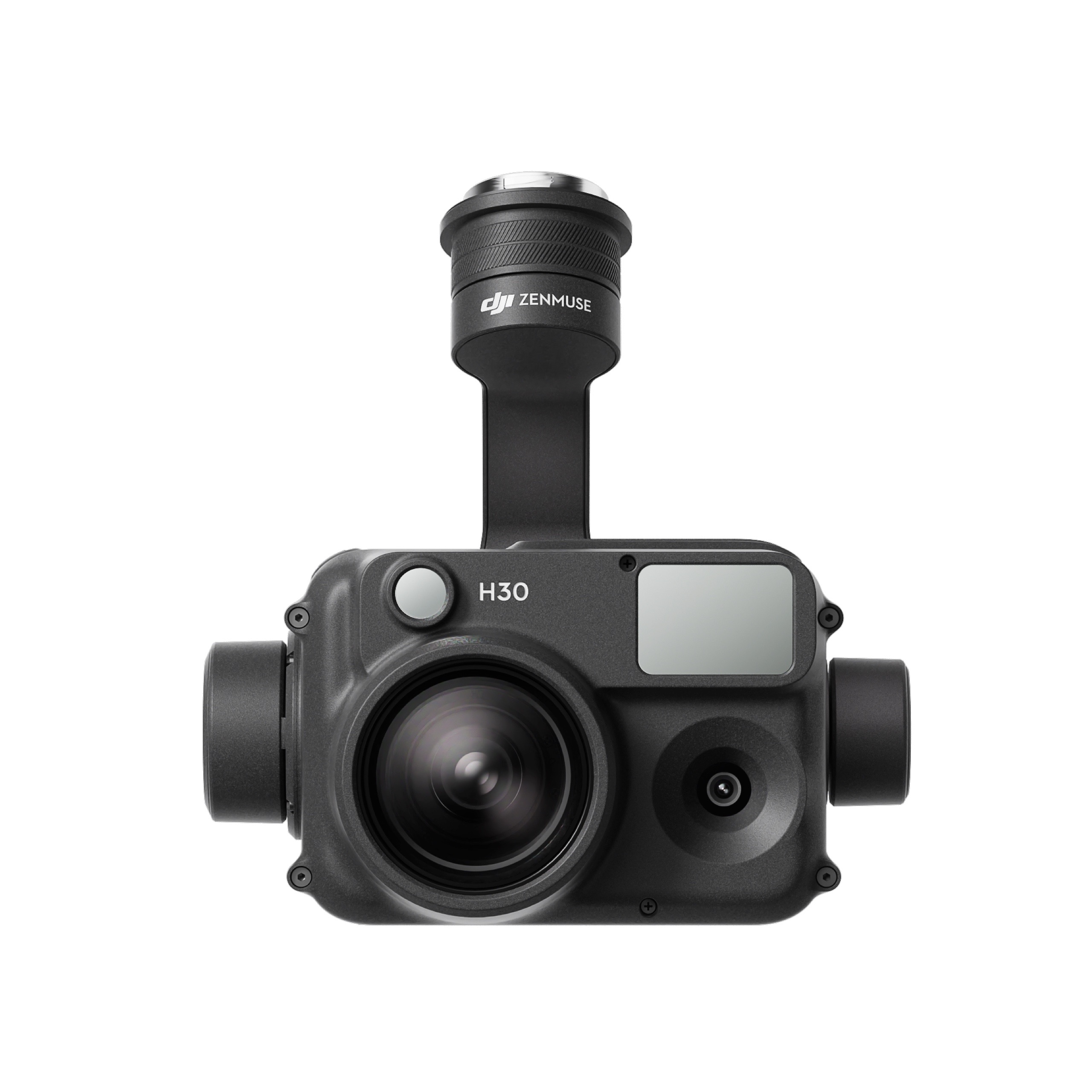
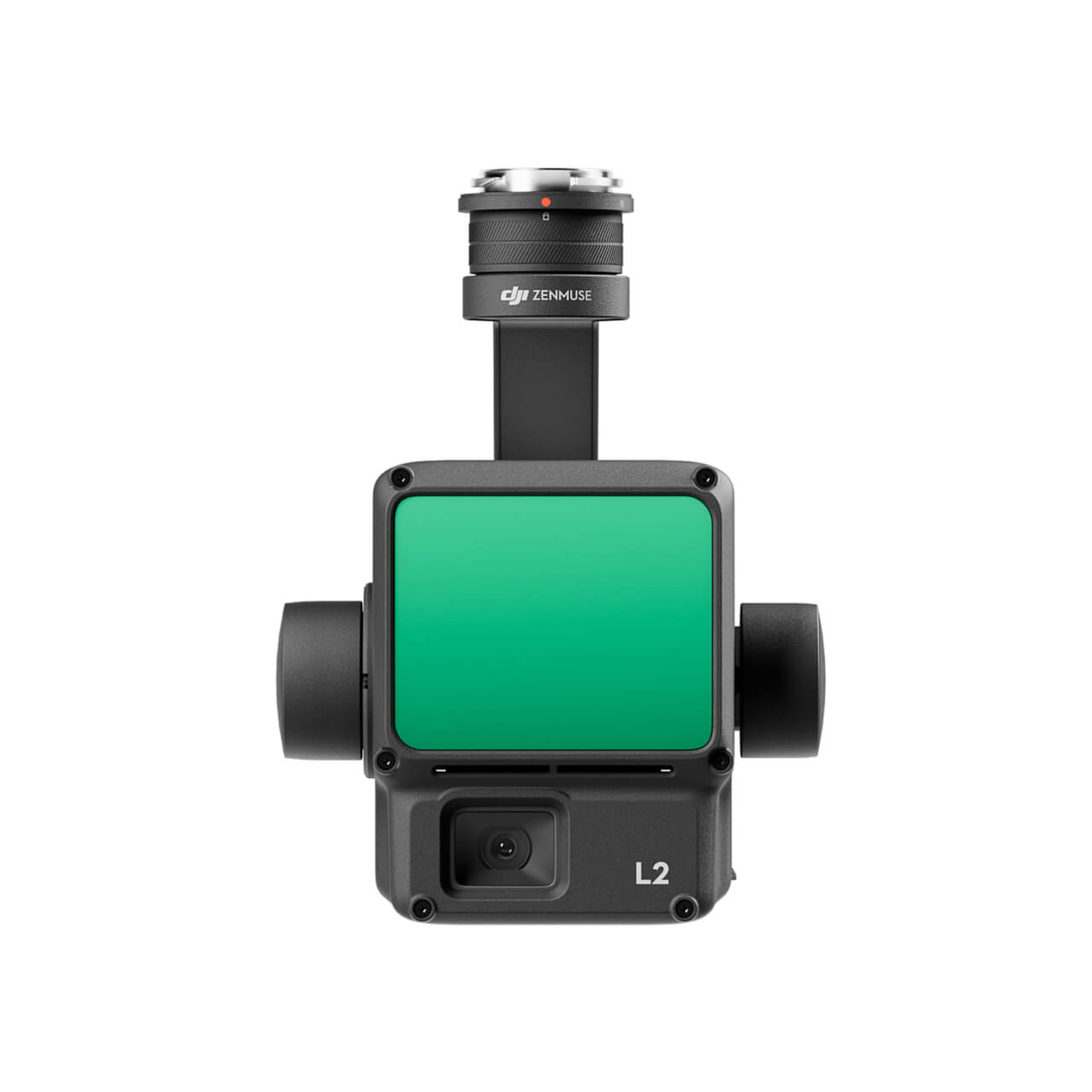
  •  M300 Drone and L1 LiDAR and RB Camera- Introduction and Specifications. M300 Drone / Payload Installation, Configuration & Setup.
  • Introducing the Pilot app.
  • Settings and Manual Flight Display and Functions with M 300RTK and Payloads. Mission Planning and Configuration of Mission Parameters.
  • Mission Planning (Mapping Mission, Linear Mission, Waypoint Mission etc.)
  • Import/Export of KML, maps, missions, routes.
  • Ground Control Point Establishment, Best Practices and GCP Management.
  • Execute a photogrammetry mission and data capture.
  • Multiple flight plans and execution of missions and practice.
  • Aerial Data Software Processing and Reconstruction Missions for 2D and 3D Deliverables. Introduction to Smart Drone Surveying Software and Industry Outputs.
  • Questions & Answers.
  • Proficiency Knowledge Test & Certification.

Training Rates: this can be provided upon request based on the number of attendees.

Certificate type: Drone Aerial LiDAR Mapping Specialist

Category:
Matrice 350 RTK

An upgraded flagship drone platform, the Matrice 350 RTK sets a new benchmark for the industry. This next-generation drone platform features an all-new video transmission system and control experience, a more efficient battery system, and more comprehensive safety features, as well as robust payload and expansion capabilities. It is fully powered to inject innovative strength into any aerial operation.

Buy
GPR system: Radar Systems Zond Aero LF (low frequency)

Extra-lightweight GPR system, suitable for medium-sized drones like DJI M300 RTK.

Comes with 3x sets of dipoles for the 300, 150, and 100 MHz.

Utilizes Real Time Sampling (RTS) with high hardware stacking, delivering high-resolution low-noise data.

Buy
Laser Falcon methane detector

Laser Falcon is sensitive only to methane, so no false readings of other gases are possible. It is a class 3R eye-safe laser.

The concept is based on Infrared Absorption Spectroscopy. The laser emits light (spectral range of 1,65 μm), which reflects back and is captured by the sensor. The outgoing and incoming signals are compared with the built-in reference cell. If methane is present along the laser path, the laser light is partially absorbed. An algorithm calculates the gas concentration in ppm×m (parts per million multiplied by meter). The value is instantly transferred to the remote control (RC) of the drone pilot and to UgCS software.

Buy

Inquire price for

    ×