Bathymetric Drone (Airborne Bathymetric Survey)

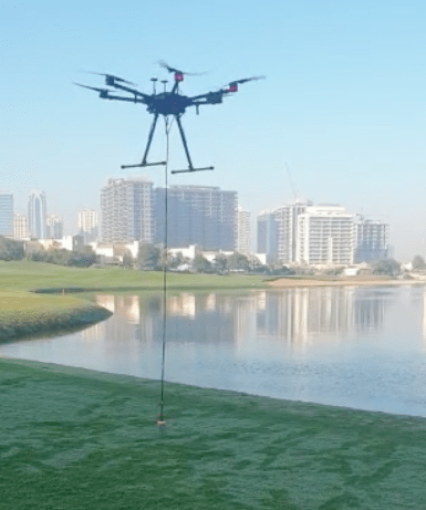
  • Supported sensors – Echo Sounder or GPR – can be selected based on the water depth, required sensitivity, and water properties
  • It is easy to transport deploy and has the ability to operate at hard to reach locations, unsafe or hazardous environment
  • The drone makes bathymetric surveys 10 times faster and 2 times more cost-efficient compared with a standard approach using a ship, a boat or an unmanned surface vehicle

10x Faster & 2x Cost-Efficient
Acquire seamless bathymetry data of coastal and inland water.
An Unmanned Aerial Vehicle (UAV) – drone equipped with Echo Sounder is the best solution especially for hard to reach areas.

WHY BATHYMETRY WITH UAV

  • Bathymetric drone maps water depths and sediments much faster and cost-efficient.
  • It is easy to transport deploy and has the ability to operate at hard to reach locations, unsafe or hazardous environment.
  • The drone makes bathymetric surveys 10 times faster and 2 times more cost-efficient compared with a standard approach using a ship, a boat or an unmanned surface vehicle.

WHY BATHYMETRY WITH UAV

DEPLOY ANYWHERE

Ideal for hard to reach locations (steep coasts, mining pits, shallow waters, terrain obstacles), as well as waters of ponds, lakes, and canals. No need for a wide point of entry to the water for deployment/recovery. Locations not reachable by foot can be reached by drone.

SAVE TIME

Acquire data 10 times faster compared to the traditional methods due to easy transportation and fast deployment.

OPERATE IN HARSH CONDITIONS

The system works in an unsafe and hazardous environment, which a human should not approach freely. A drone operates without water contact, therefore lakes and rivers with strong currents, as well as contaminated waters become measurable.

PRECISE MEASUREMENTS

Drone’s precise positioning while following the survey routes and ability to fly at a constant speed and specified low altitudes result in high accuracy measurements.

SUPPORTED DRONES AND AUTOPILOTS

UgCS SkyHub integrated drone-based systems can be built with DJI: M600/M600 Pro (incl. RTK), M210/M210v2 (incl.RTK), (comin soon M300 RTK), A3 (custom-built drones) and Pixhawk with ArduCopter firmware.

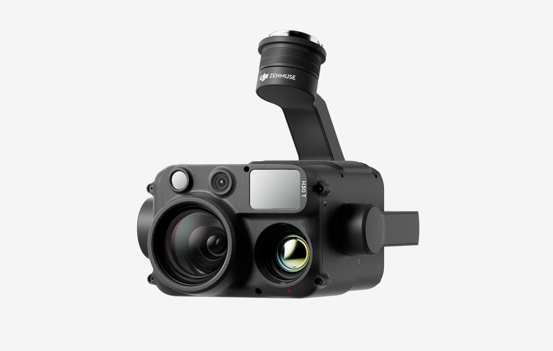
DJI Zenmuse H30T

The all-weather, multi-sensor flagship Zenmuse H30 Series integrates five major modules—a wide-angle camera, a zoom camera, an infrared thermal camera, a laser range finder, and an NIR auxiliary light. Employing cutting-edge intelligent algorithms, it revolutionizes perception and imaging standards, transcending the limitations of day and night vision. This makes it effortlessly suitable for a variety of operations, including public safety, energy inspection, water conservation, and forestry.

Buy
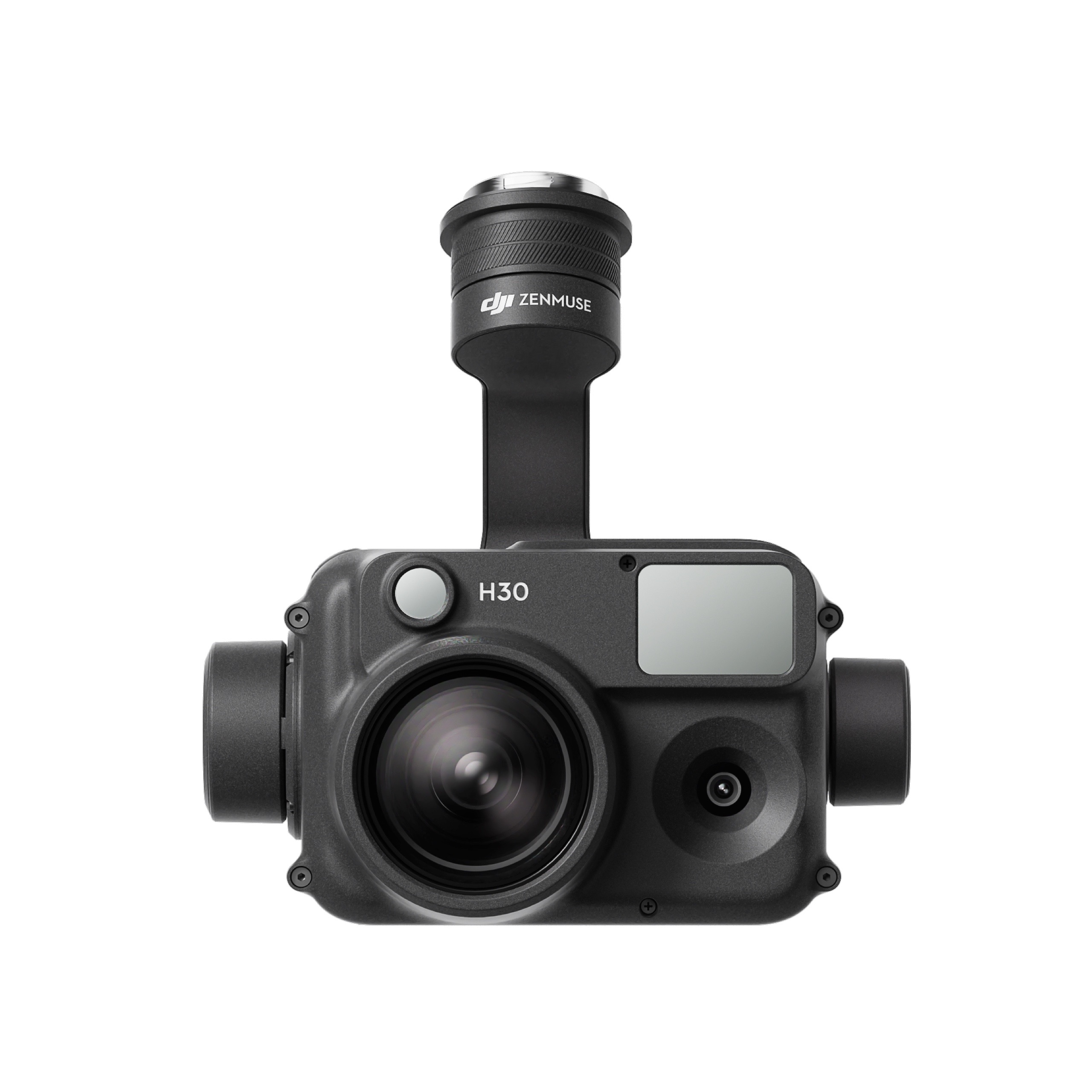
DJI Zenmuse H30

The all-weather, multi-sensor flagship Zenmuse H30 Series integrates five major modules—a wide-angle camera, a zoom camera, an infrared thermal camera, a laser range finder, and an NIR auxiliary light. Employing cutting-edge intelligent algorithms, it revolutionizes perception and imaging standards, transcending the limitations of day and night vision. This makes it effortlessly suitable for a variety of operations, including public safety, energy inspection, water conservation, and forestry.
Buy
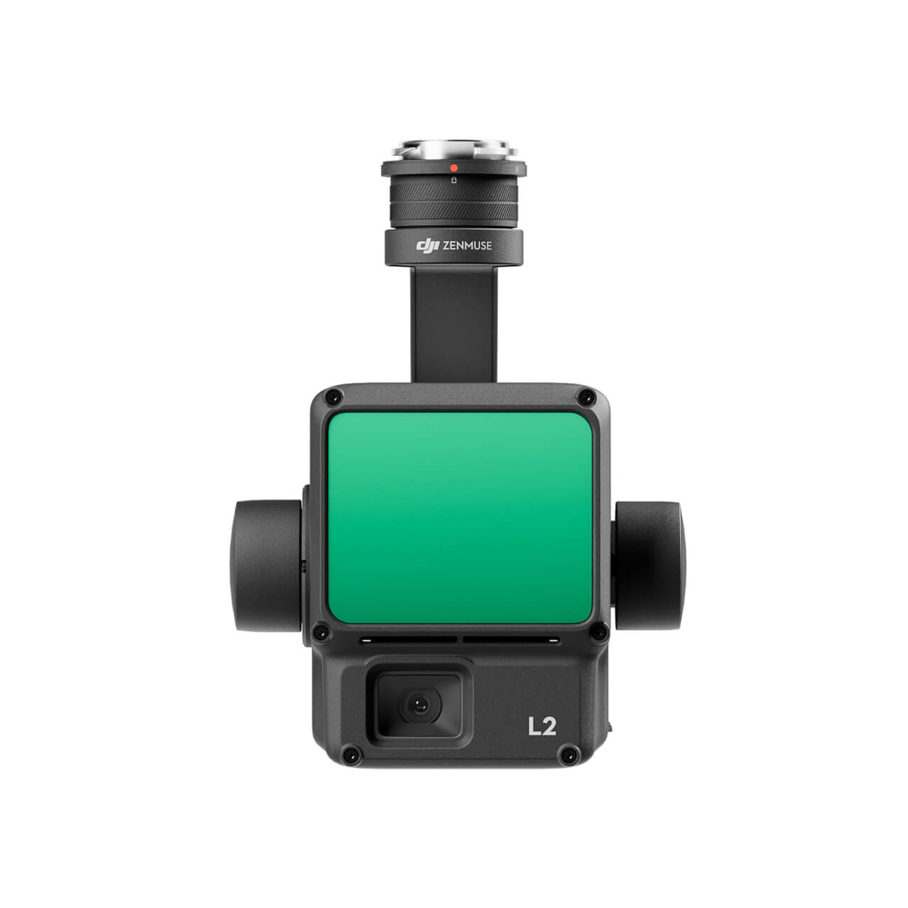
DJI Zenmuse L2 (LiDAR)
  • High Precision
  • Exceptional Efficiency
  • Superior Penetration
  • 250m/450m Detection Range
  • 5 Returns
  • Turnkey Solution
  • Point Cloud LiveView
  • One-Click Processing on DJI Terra
Buy
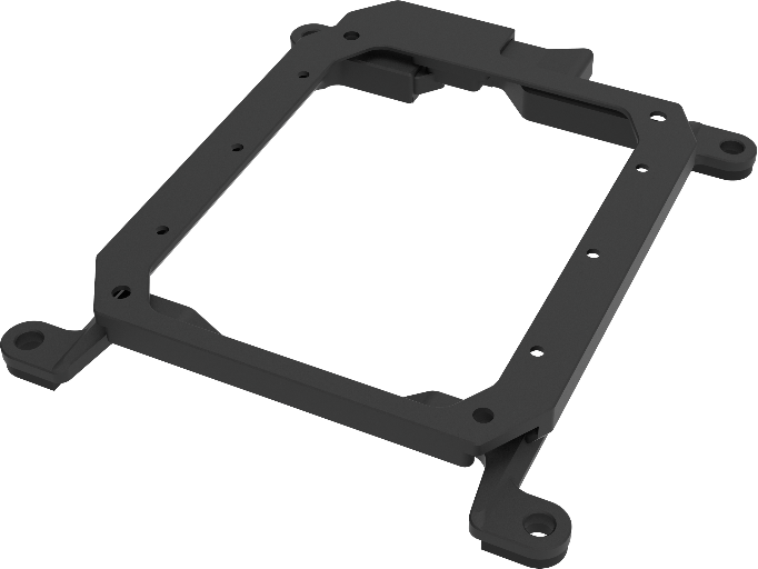
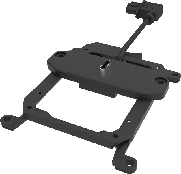
M30 PSDK ADAPTER BRACKET

The PSDK load can be fixed to the M30 series flight platform, and different types of PSDK loads can be quickly removed and replaced.

Buy

Inquire price for

    ×