Virtual Surveyor

SMART DRONE SURVEYING SOFTWARE. SURVEY EFFICIENTLY WITH DRONE DATA

Powerful analysis and visualisation of your drone surveys. Virtual Surveyor is ideal for civil construction, infrastructure, mining and quarrying projects of any size. From road surveying to topography mapping, volume calculations and cut/fill mapping, Virtual Surveyor gives you the tools to quickly and accurately track and optimise your project as it takes shape.

  • Topographic surveys
  • Mining & quarrying
  • Construction earthworks
  • Stockpile inventory

Category
TOPOGRAPHIC SURVEYS
Combine the power of your brain to interpret complex topographies with the calculation power of the computer to create drone surveys in very short times.
MINING & QUARRYING
Use drone data for a more efficient and safer mine management. Create more accurate reports on excavations and stocks. Bridge the gap with your specialized mining software.

CONSTRUCTION EARTHWORKS
Keep track of your construction project with multiple drone surveys. Compare with your baseline or design surface and determine how much work needs to be done.

STOCKPILE INVENTORY
Quantity surveyors generate complex reference surfaces to assess stocks in an accurate and repetitive way.

THE DRONE MAPPING WORKFLOW
A survey with a drone adds additional complexity to your workflow. It is important to understand where you are as a surveyor in the entire workflow.
Flying. The Drone Operator flies with a drone and acquires a set of pictures of the project site.
Photogrammetry.
 The Photogrammetrist creates an orthophoto and elevation model from the pictures.
Virtual Surveying.
 The Surveyor creates a line survey, triangulation or contours in Virtual Surveyor.
Civil Design
. The Civil Designer uses the survey outputs to create a civil design in a CAD design software.

THE TOTAL DRONE SURVEYING WORKFLOW

Creating a topographic survey with a drone is a completely different process compared to a terrestrial survey with the boots on the ground.

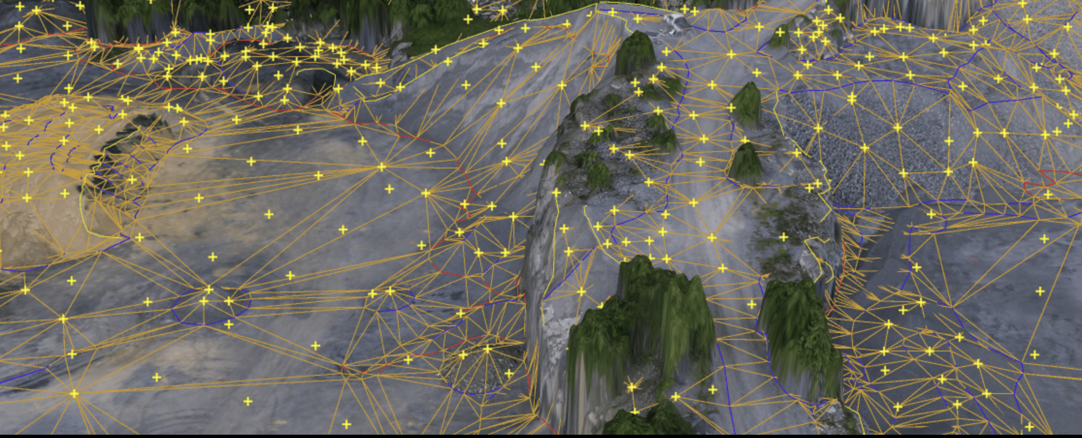
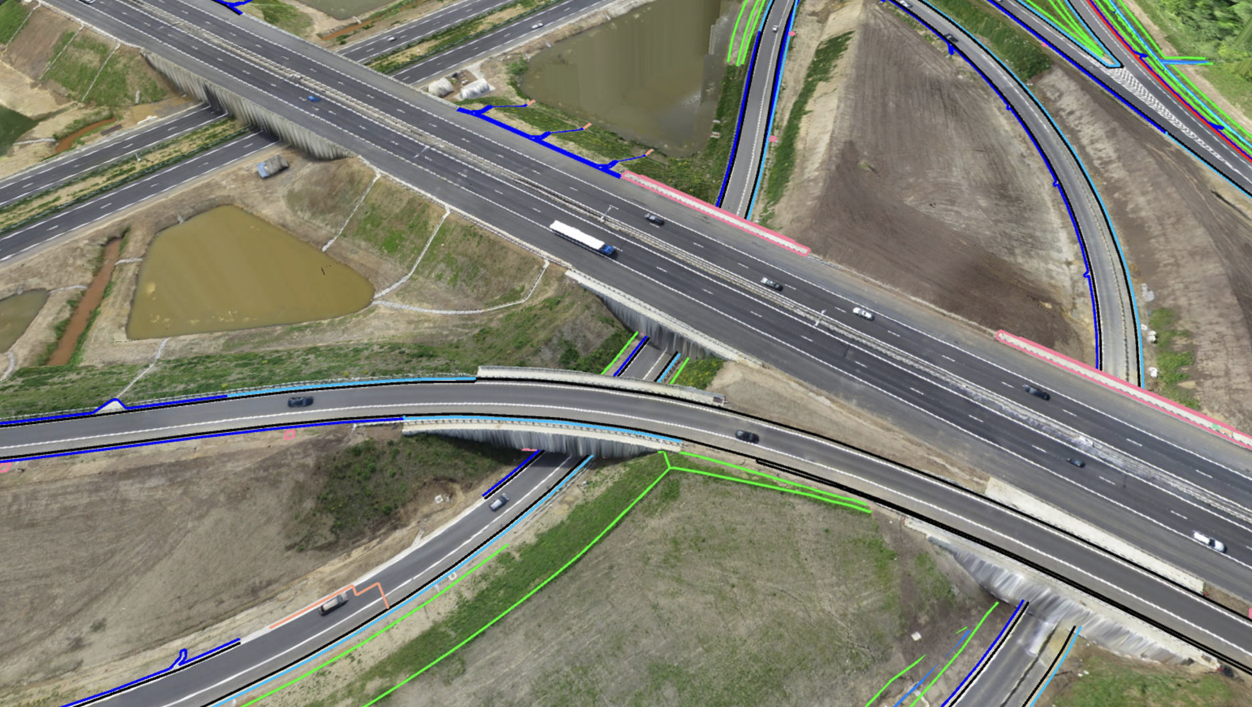
A topographic surveyor models the outside world by measuring as few points and lines as possible, while surveying with a drone requires flightplanning, piloting, an entire logistic operation and photogrammetry.

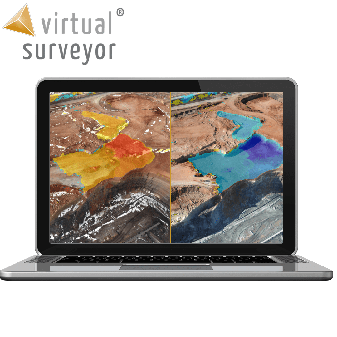
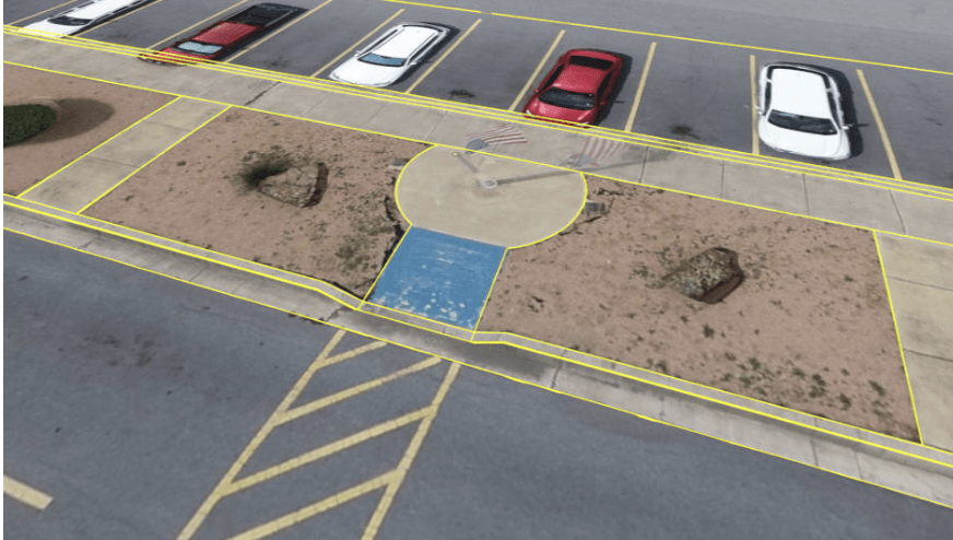
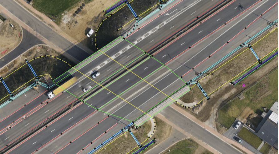
Another big challenge is that the orthophotos, elevation models and point clouds coming out from the photogrammetry process differ completely from what the engineers expect the surveyor to deliver. Civil or mine engineers want a lightweight but meaningful CAD model that they can load directly in their CAD design software packages.

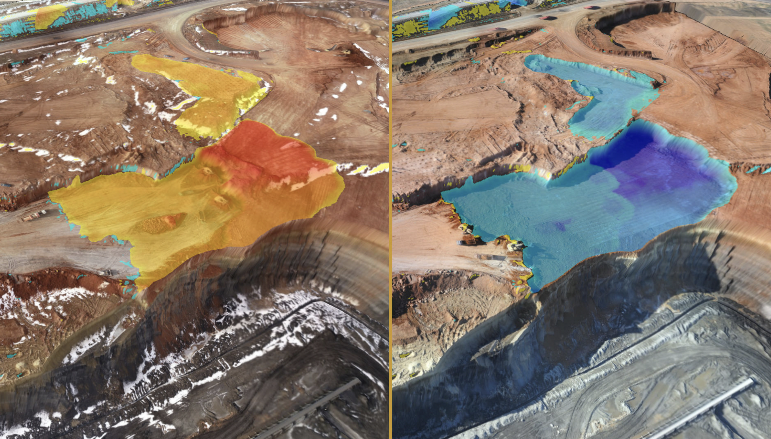
DRONE MAPPING AT KARDIA MINE
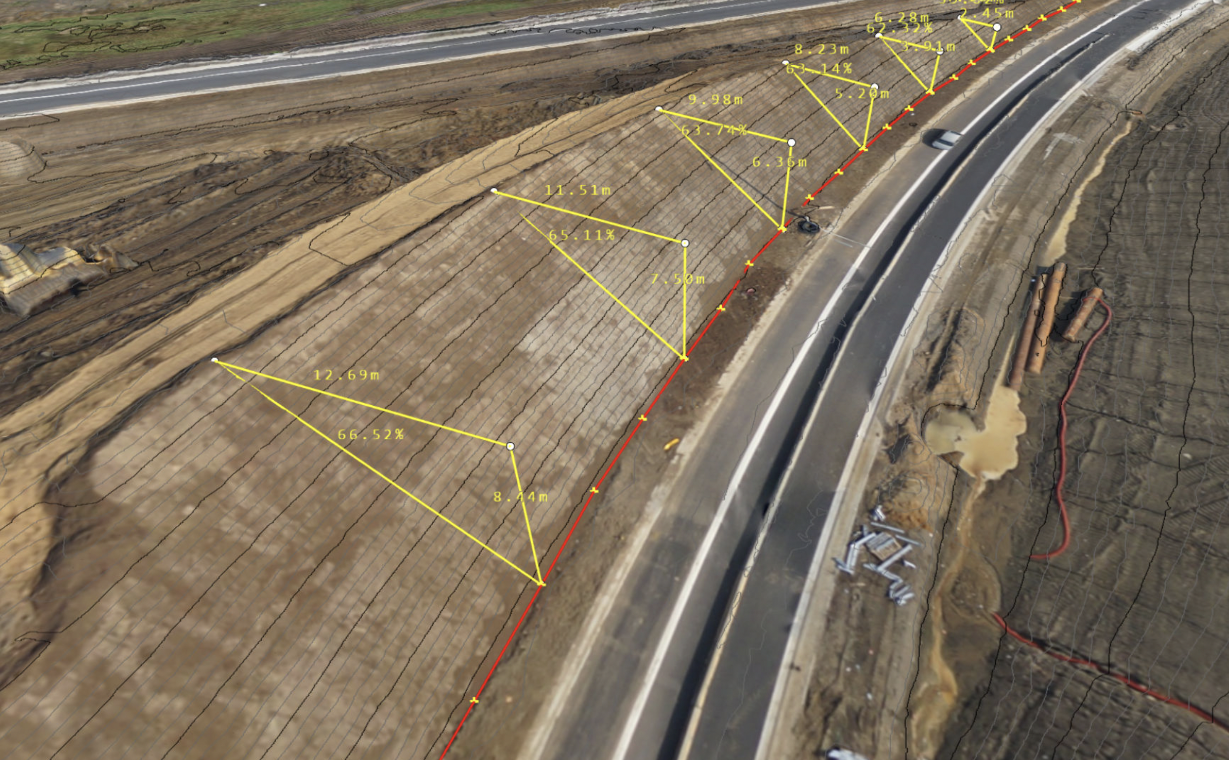
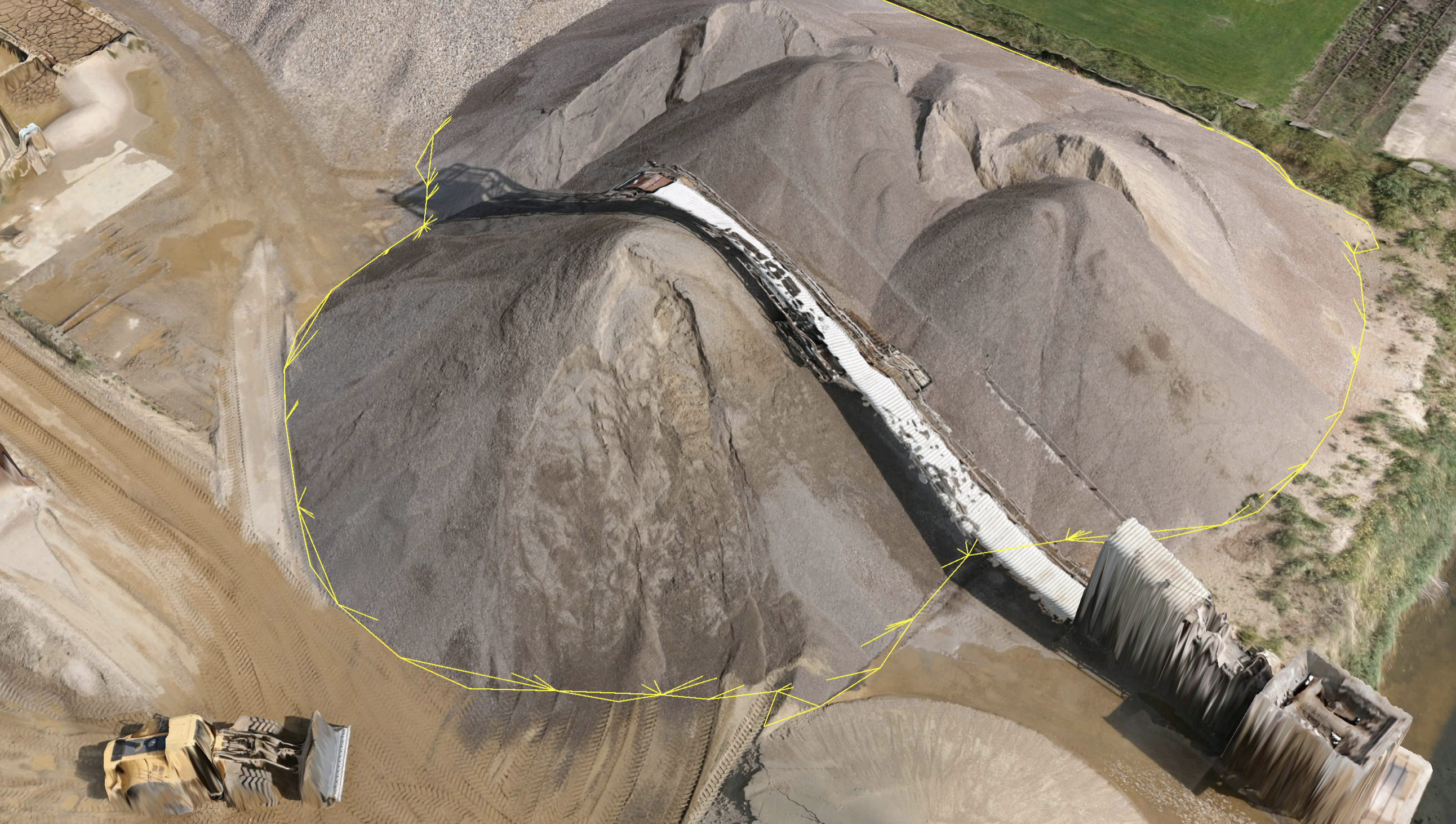
The Kardia mine in West Macedonia saves big bucks with more accurate volume measurements using drone surveying. The surveying team operates the following workflow on a monthly basis:
  • Flight planning with eMotion software.
  • Drone flight with the eBee RTK from SenseFly.
  • Photogrammetry with Pix4Dmapper software.
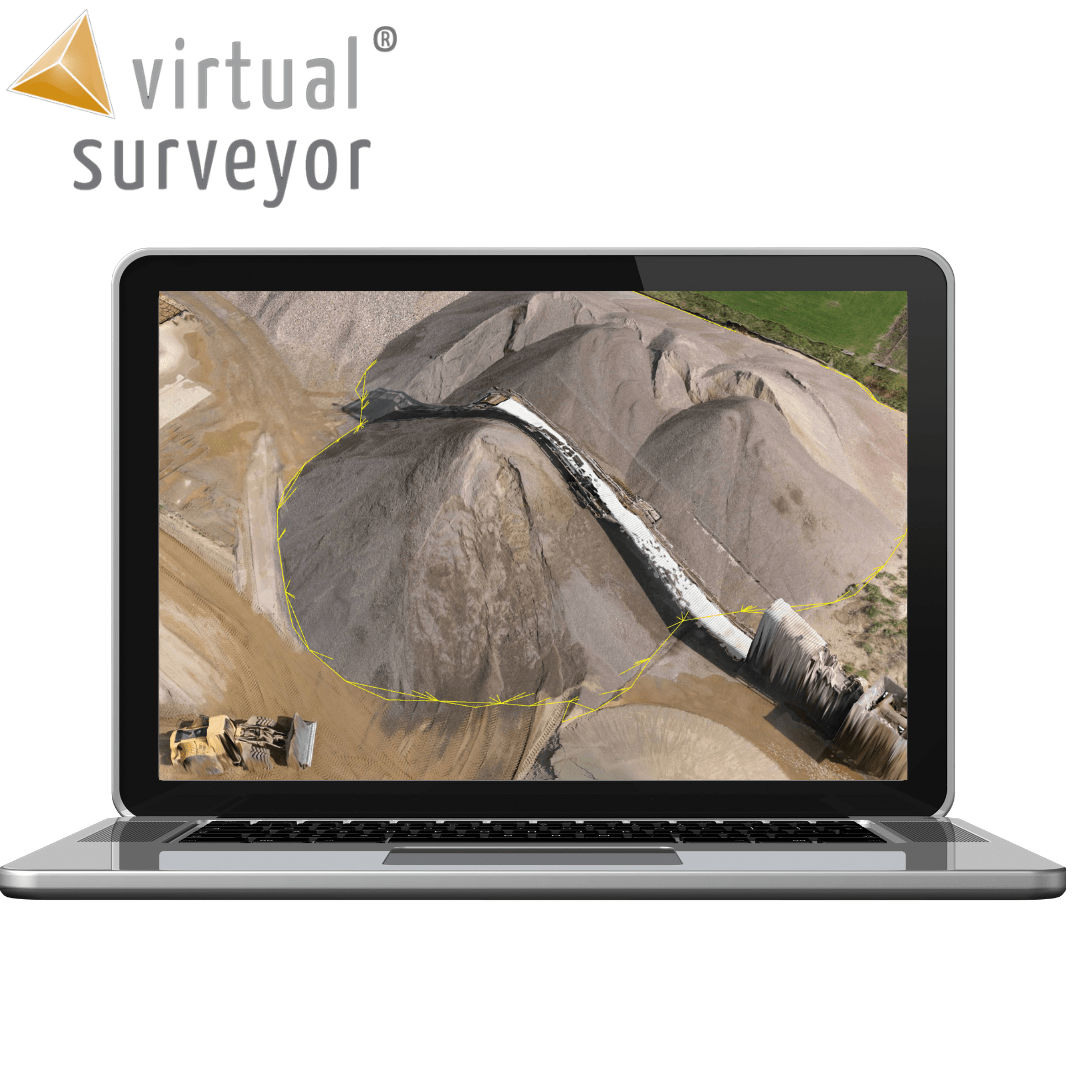
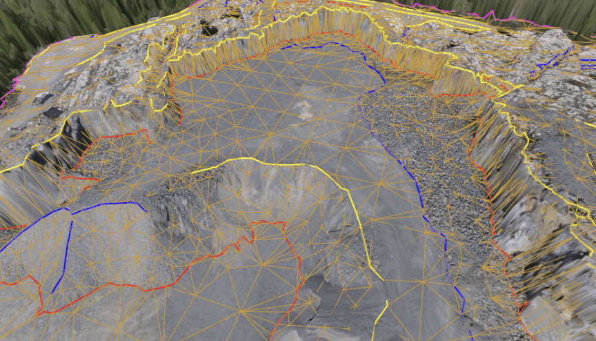
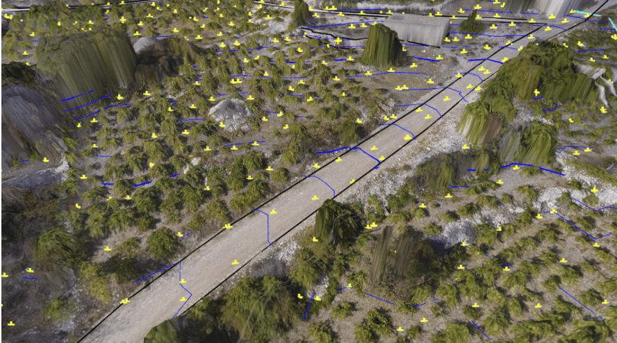
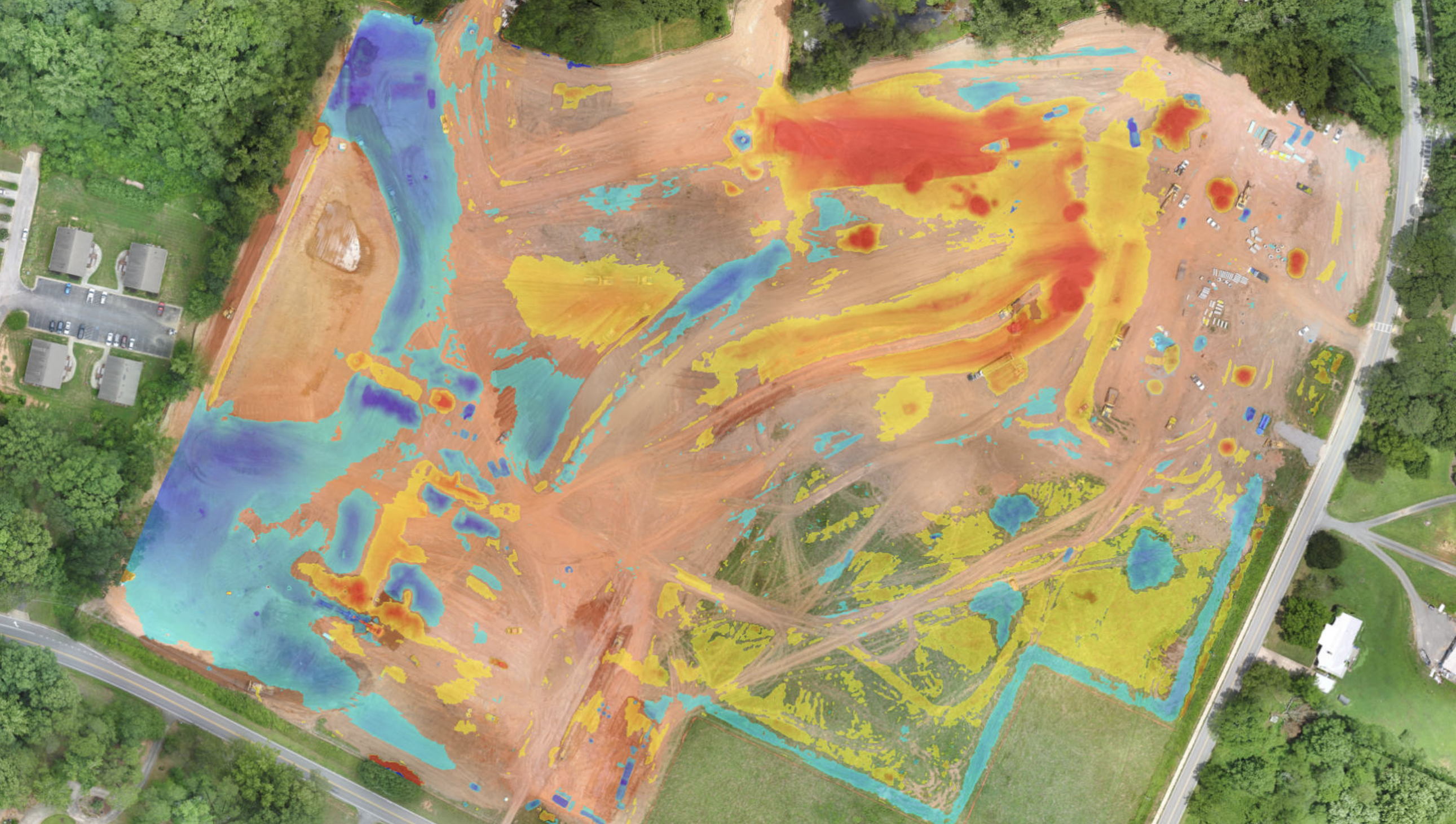
  • Removal of conveyors, measurement of volumes and drawing of breaklines with Virtual Surveyor software.
  • Constructing future excavations with Anadelta Tessera software.

Survey points and break lines

Draw points, point grids, lines and polygons in a realistic virtual environment. Save on the field work, save time and work from the comfort of your office with the ability to analyse the environment at different angles.

Create and import surfaces

Create a triangulation from your survey and verify instantly with with your terrain. Improve the model by adding points or break lines and triangulate again, giving you an accurate survey that truly represents the topography.

Quickly add section lines to road surveys

Simply create a centre line for the road, then add and densify section lines to create road surfaces quickly and accurately, modelled on the existing topography.

Category:
DJI Zenmuse L2 (LiDAR)
  • High Precision
  • Exceptional Efficiency
  • Superior Penetration
  • 250m/450m Detection Range
  • 5 Returns
  • Turnkey Solution
  • Point Cloud LiveView
  • One-Click Processing on DJI Terra
Buy
M30 PSDK ADAPTER BRACKET

The PSDK load can be fixed to the M30 series flight platform, and different types of PSDK loads can be quickly removed and replaced.

Buy
FC30 EQUIPPED WITH A THREE-LOAD SUPPORT

The FC30 EQUIPPED WITH A THREE-LOAD SUPPORT is designed for the DJI FlyCart 30 carrier and can support up to three ET4 FOUR DROP KIT at the same time, achieving 12-stage drops with a maximum payload of 120kg.

Buy

Inquire price for

    ×