-
-
DJI ZENMUSE XT, Z3, Z30, X7, X5, H, GIMBALS, CAMERAS, SENSORS
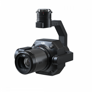
DJI Zenmuse P1
The Zenmuse P1 integrates a full-frame sensor with interchangeable fixed-focus lenses on a 3-axis stabilized gimbal. Designed for photogrammetry flight missions, it takes efficiency and accuracy to a whole new level.
SKU: n/a -
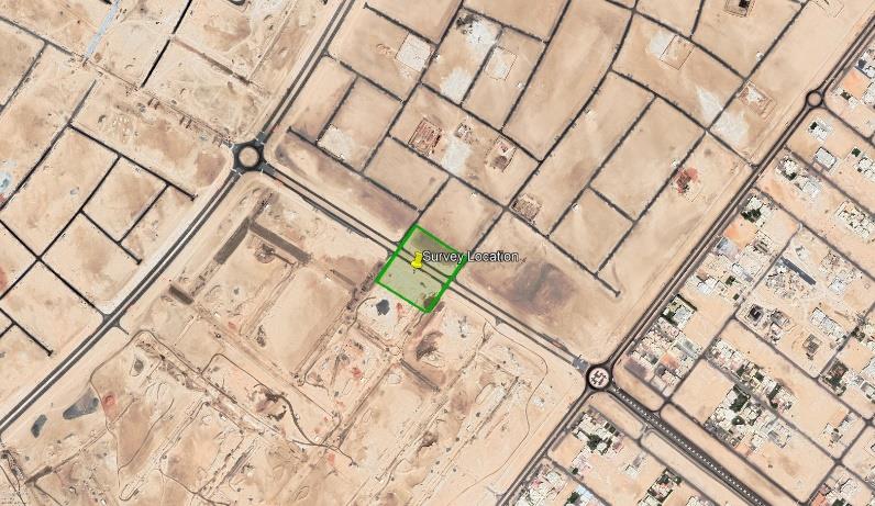
DJI MATRICE, RTK/PPK
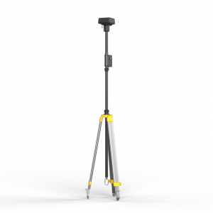
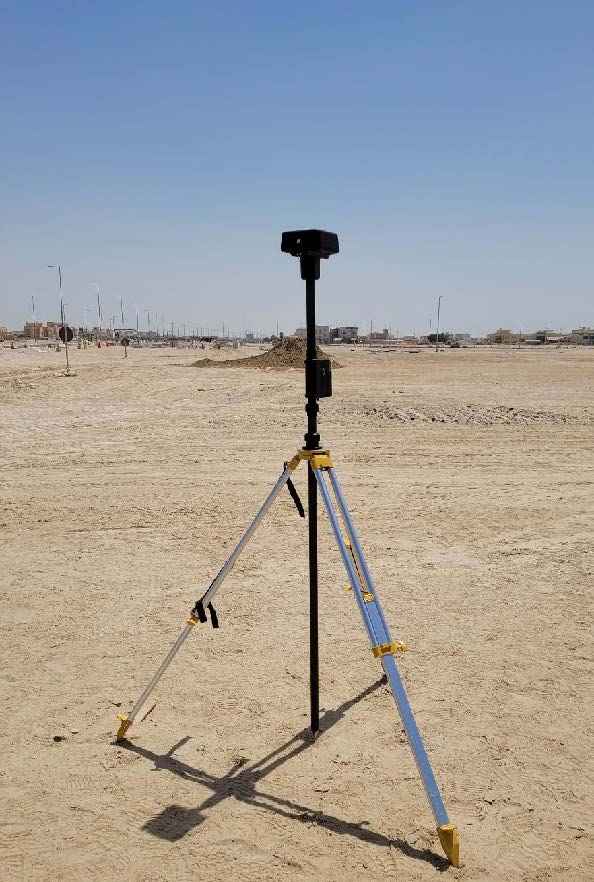
D-RTK Mobile Station For Matrice Series
D-RTK 2 Mobile Station is DJI’s upgraded high-precision GNSS receiver that supports all major global satellite navigation systems, providing real-time differential corrections that generate centimeter-level positioning data for improved relative accuracy.
SKU: n/a
