Training and Certification on Plan, Collect and Process using Enterprise Drones.
Training and Certification on Plan, Collect and Process using Enterprise Drones.
Explore our comprehensive commercial drone training and certification services tailored to professionals across various industries. Whether you’re a beginner venturing into the field or an experienced pilot aiming to expand your expertise, our programs are designed to equip you with the knowledge and skills needed to operate drones safely and effectively in commercial settings.
Our training and certifications cater to hobbyists, professionals, and commercial operators alike.
Here’s an overview of our training and certification offerings:
Hobbyist Drone Training:
- Ideal for newcomers, this program covers drone operation basics, safety protocols, and regulatory compliance. Topics include flight controls, pre-flight checks, airspace regulations, and emergency procedures.
- Duration: 3 to 5 hours.
Commercial RPAS Training and Certification:
- Essential for commercial drone operators in the UAE, this program prepares pilots for the GCAA and DCAA commercial drone operations. Successful completion leads to a Commercial RPAS Training Certificate, enabling operators to apply for a Commercial Flying Permit through their organizations.
- Duration: 2-3days (4hours each day).
Advanced On-the-Job Drone Training:
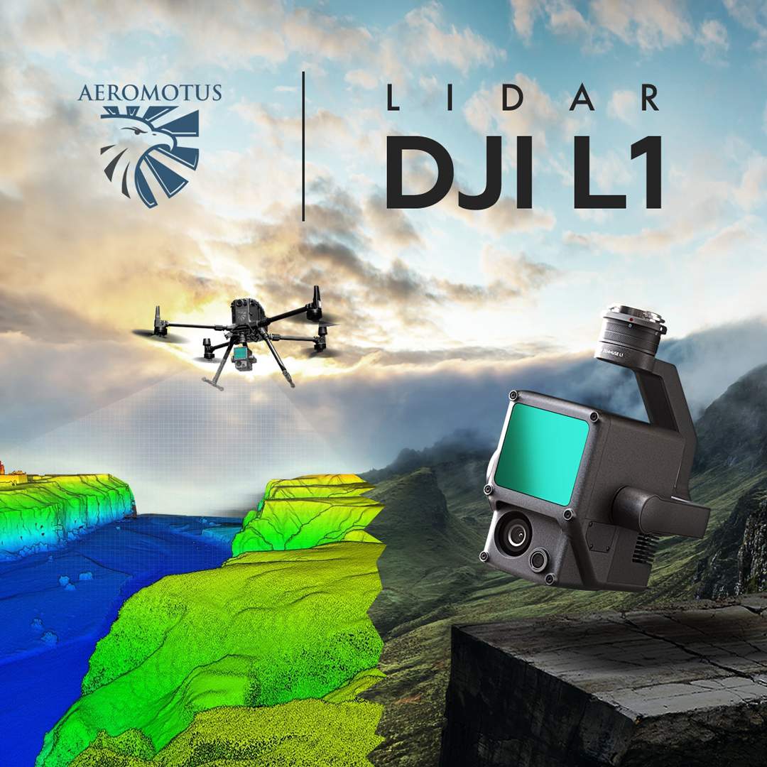
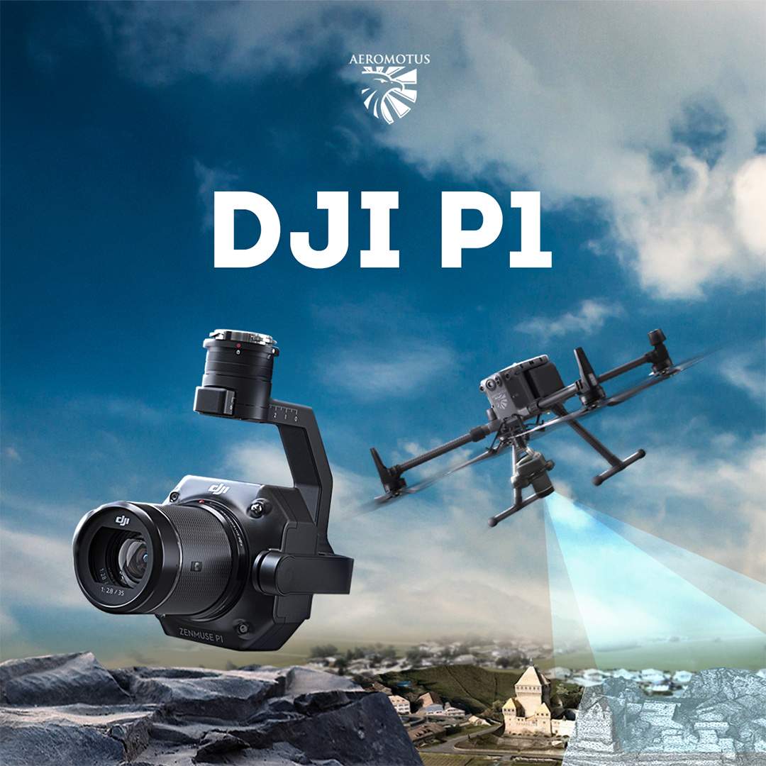
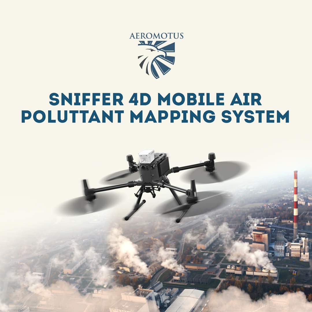
- Designed for seasoned pilots, this program delves into advanced flight maneuvers, aerial surveying, mapping, filming techniques, and industry-specific applications. Training may cover advanced technologies like thermal imaging and LiDAR.
- Data Capture, Processing, Reconstruction and Modelling Trainings
- Duration: customized based on training needs.
Industry-Specific Training:
- Tailored to various sectors including construction, agriculture, and public safety, these programs provide specialized instruction on using drones for specific applications such as aerial mapping, crop monitoring, and search and rescue operations.
- Duration: customized based on training needs.
Recurrency Training:
- Designed to keep certified drone pilots up to date with regulations and best practices, recurrency training includes refresher courses, proficiency evaluations, and updates on industry developments.
- Duration: customized based on training needs.
Our programs ensure compliance with regulations, mitigate risks, and unlock the full potential of drone technology across industries. Upon completion, attendees receive a Training Completion Certificate, validating their expertise and competence in drone operations.
For training rate and queries, please reach out to [email protected] or by WhatsApp.