-
DJI ENTERPRISE, DJI PHANTOM
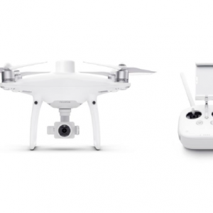
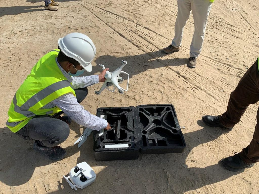
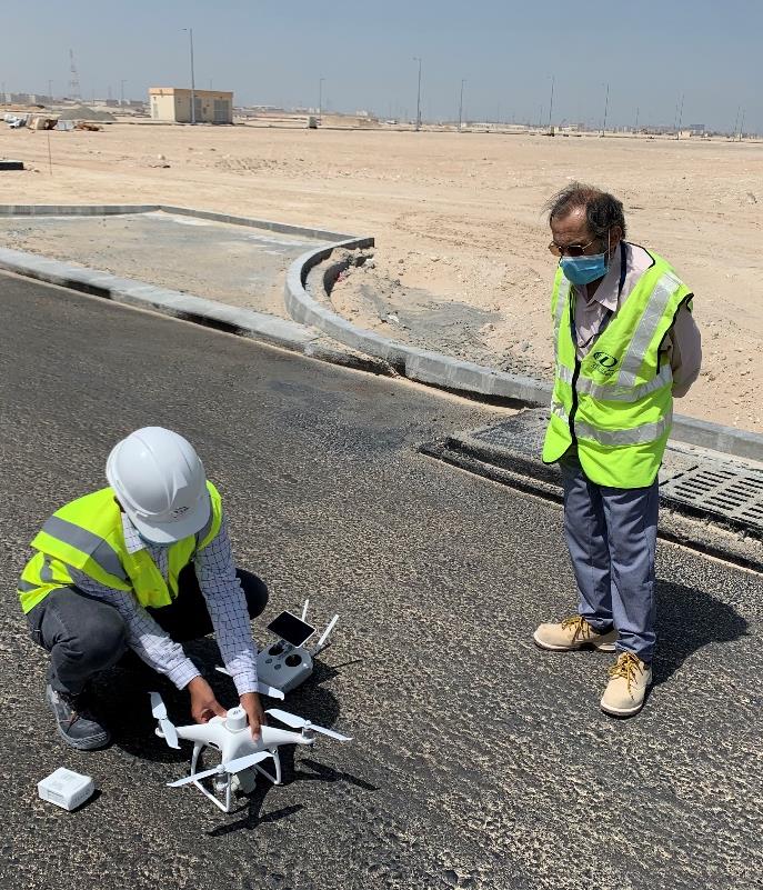
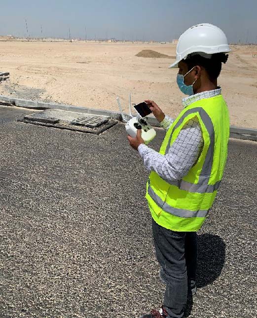
DJI Phantom 4 RTK SDK
The Phantom 4 RTK SDK package is essentially the same as the market leading Phantom 4 RTK except that it includes the Phantom 4 RTK SDK Remote Controller without screen. In addition to supporting Ground Station Pro, pilots with experience using 3rd party applications on DJI drones are able to access the world’s leading drone app ecosystem for their Phantom 4 RTK with the SDK remote controller. Users can plug in a compatible Android or iOS device and install any compatible DJI Mobile SDK-enabled app to harness the full power of their Phantom 4 RTK
SKU: n/a -
DJI ENTERPRISE, DJI PHANTOM
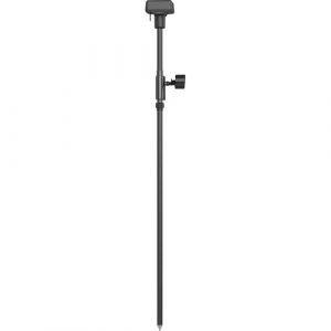
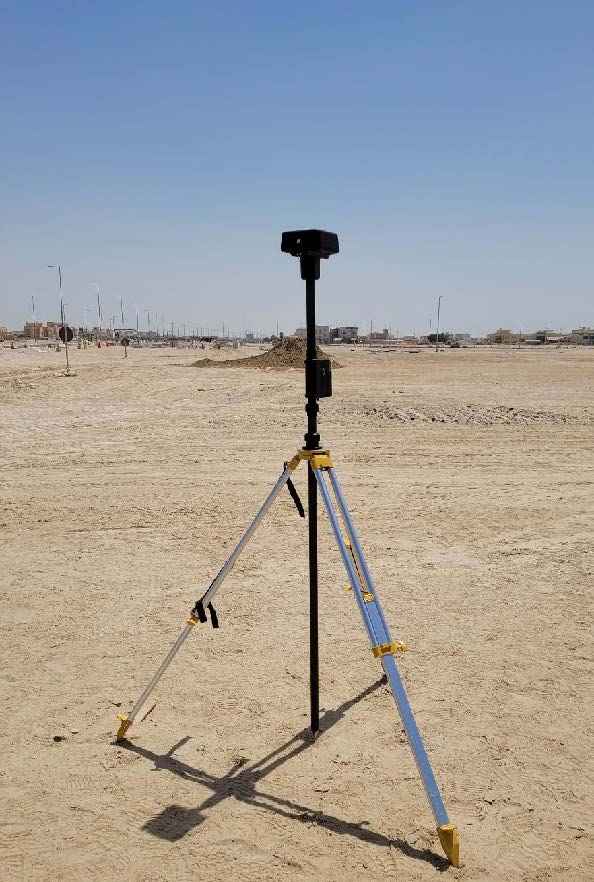
DJI D-RTK 2 GNSS Mobile Station for Phantom 4 RTK Drones
- Works with Phantom 4 RTK & MG-1P RTK
- Centimeter-Level Mapping Precision
- Accesses GPS, GLONASS, Beidou & GALILEO
- Connects via 4G, OcuSync, Wi-Fi & LAN
- Connect up to 5 Remote Controllers
- Carbon Fiber Body
- IP67-Rated Water & Dust Resistance
- Built-In IMUs Monitor Movement
- IMUs Alert Operators of Abnormalities
SKU: n/a