How drones can help industry detect methane gas
- Sorry, this product cannot be purchased.
-
DJI ZENMUSE XT, Z3, Z30, X7, X5, H, GIMBALS, CAMERAS, SENSORS
DJI Zenmuse P1
The Zenmuse P1 integrates a full-frame sensor with interchangeable fixed-focus lenses on a 3-axis stabilized gimbal. Designed for photogrammetry flight missions, it takes efficiency and accuracy to a whole new level.
SKU: n/a -
DJI ENTERPRISE, DJI ZENMUSE XT, Z3, Z30, X7, X5, H, GIMBALS, CAMERAS, SENSORS, LIDAR SYSTEMS
DJI Zenmuse L1 (LIDAR)
 DJI ENTERPRISE, DJI ZENMUSE XT, Z3, Z30, X7, X5, H, GIMBALS, CAMERAS, SENSORS, LIDAR SYSTEMS
DJI Zenmuse L1 (LIDAR)
The Zenmuse L1 integrates a Livox Lidar module, a high-accuracy IMU, and a camera with a 1-inch CMOS on a 3-axis stabilized gimbal. When used with Matrice 300 RTK and DJI Terra, the L1 forms a complete solution that gives you real-time 3D data throughout the day, efficiently capturing the details of complex structures and delivering highly accurate reconstructed models
SKU: n/a -
GIMBALS, CAMERAS, SENSORS, PAYLOADS SDK
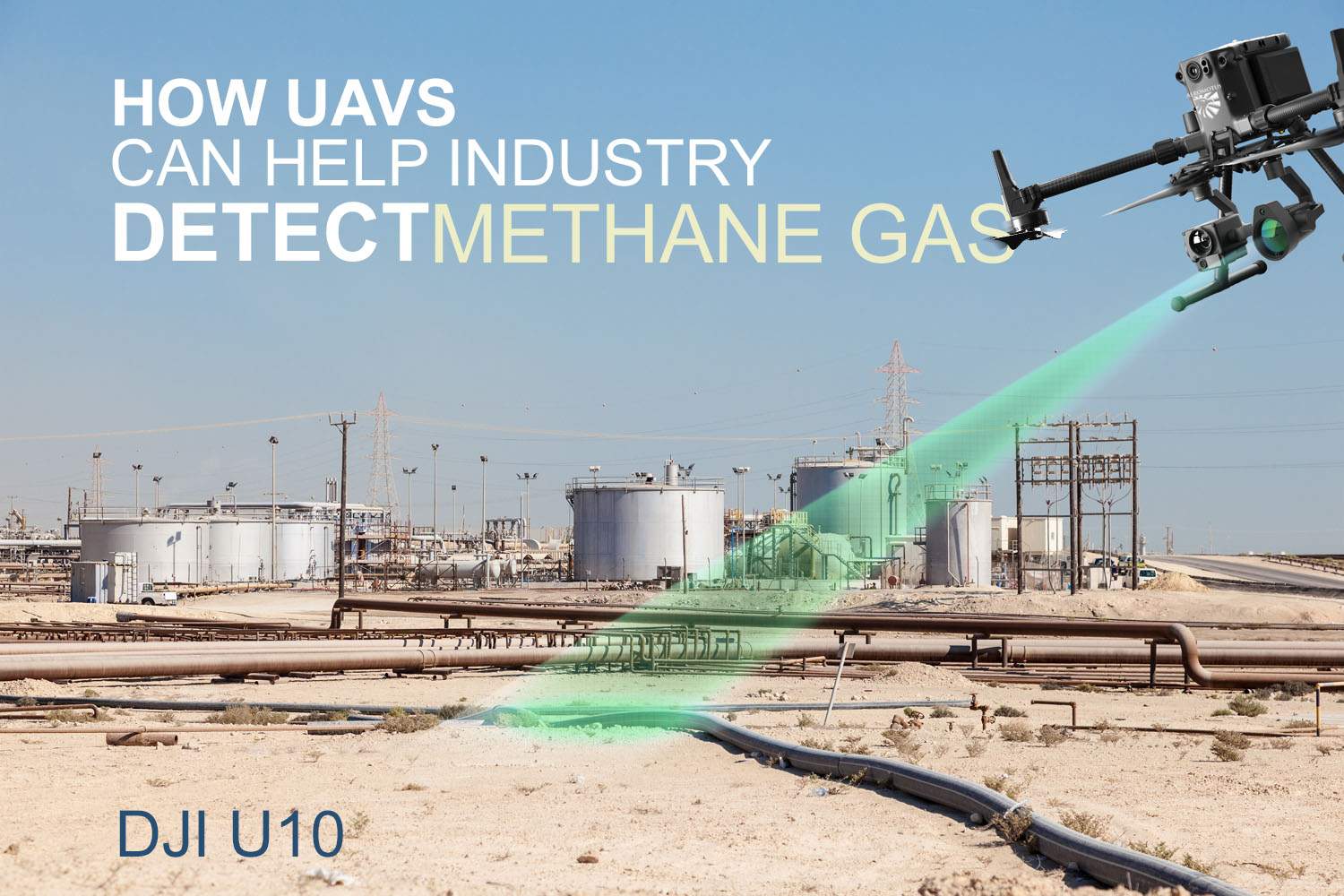
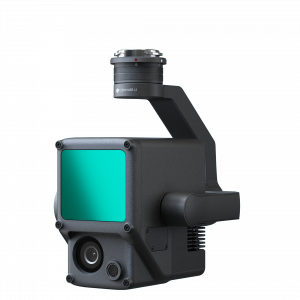
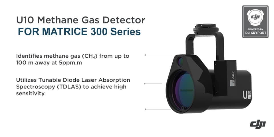
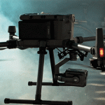
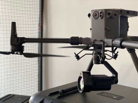
U10 LASER METHANE LEAKAGE DETECTOR
The U10 is a light-weight, high-sensitivity gas detector based on Tunable Diode Laser Absorption Spectroscopy (TDLAS), which enables rapid identification of methane from up to 100 m away, or at a concentration as low as 5ppm.m. Powered by DJI SkyPort, the U10 can be seamlessly integrated with DJI Matrice 200 Series V1 and V2 platforms.
SKU: n/a -
