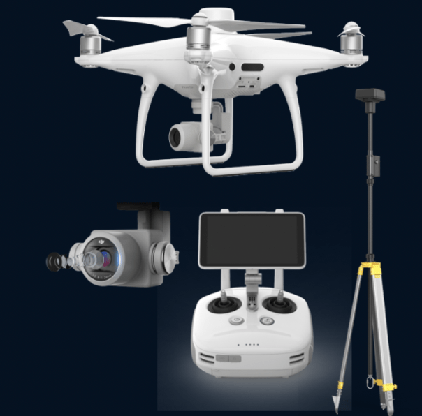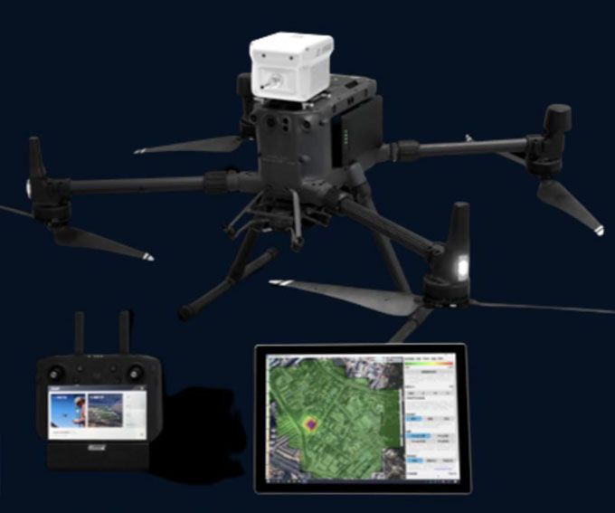
ENTERPRISE DRONES
Enterprise Drones for Surveying, Mapping, Visual and Thermal Inspections, Surveillance, Gas Detection, Public Safety and much more applications...

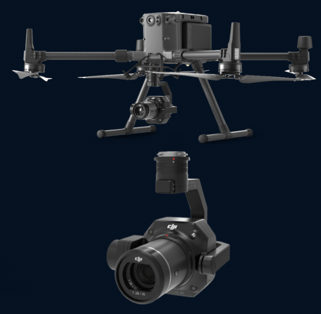
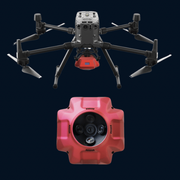
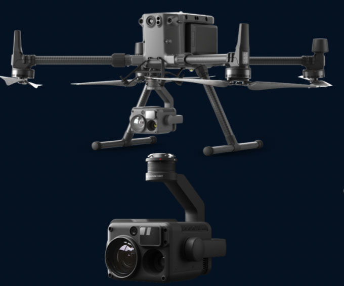
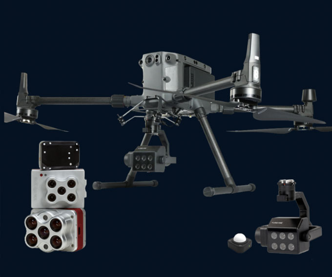
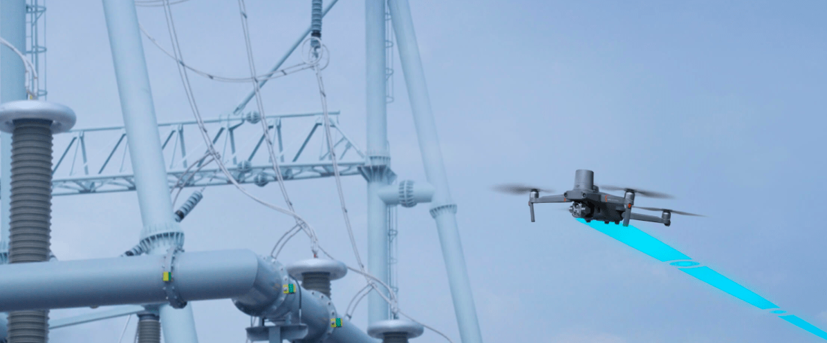
PAYLOADS, CAMERAS, SENSORS
Aerial Photogrammetry Cameras, Surveying Cameras, Oblique Surveying Cameras, LiDAR, Gas Detectors, Multispectral Camera, UV/ Corona Camera and much more..
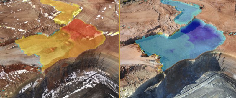
SOFTWARE - PREMISE AND CLOUD
Aerial Photogrammetry, LiDAR Processing, Drone-to-CAD/ GIS, Remote Visual Inspection, Thermal Inspection, Solar PV Analytics, AIpowered Analytics, Hydrographic Processing, Flight Mission Software, Drone Fleet Management Drone Operations...

TRAININGS AND SUPPORT
The training was developed for corporations who plan to build up a pilot team and individuals that can achieve the best possibilities for drone applications. This includes an overview of latest UAS solutions, flight operation, mission workflow, flight safety knowledge, maintenance operations, software workflow

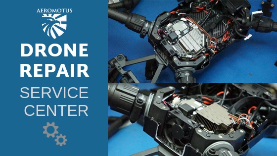
REPAIR SERVICE
Our technicians are certified, meaning that they know everything there is to know regarding drone repair. As long as the nature of the damage to your drone is possible to repair, we at aeromotus.com will happily fix your drone.

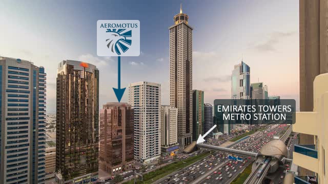
OUTDOOR AND INDOOR DRONE DEMONSTRATIONS
At Aeromotus, we believe every successful product to sell demands demonstration in the right manner to increase customer self-confidence, thus we offer flexible and on-demand drone field demonstrations at pre-approved site locations within the United Arab Emirates and virtual demonstrations for software on data processing and modeling software. We create an experience for you through our demonstrations.